NOAA's National Ocean Service (NOS) provides science-based solutions through collaborative partnerships to address the evolving economic, environmental, and social pressures on our ocean and coasts.
In Fiscal Year 2020, we developed groundbreaking mapping strategies, innovative and ambitious coral reef restoration plans, and improvements to cutting-edge spatial data tools to support disaster response and recovery; these are just some of the many accomplishments that NOS is pleased to share in this report.
We also provided a wide variety of emergency response services during one of the most active hurricane seasons in recorded history, all while responding to additional challenges posed by the COVID-19 pandemic.
Visit the “Browse by Hurricane,” “Browse by Office,” and “NOS by the Numbers: 2020” sections of this report for the many actions we have taken, challenges we have overcome, and scientific endeavors we have embarked on to advance safe and efficient transportation and commerce; preparedness and risk reduction; and stewardship, recreation, and tourism for the American people.
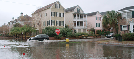
The number of NOAA tide gauges that provide short and long-term flooding projections for coastal communities.
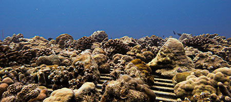
The amount of money that NOAA awarded through the new Ruth Gates Coral Restoration Innovation Grants competition.
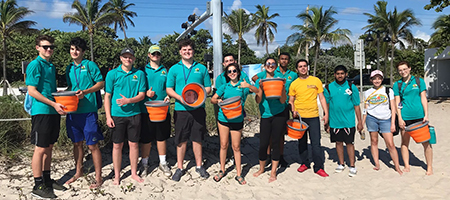
The number of hours NOAA Planet Stewards K-12 students spent engaging in stewardship activities.
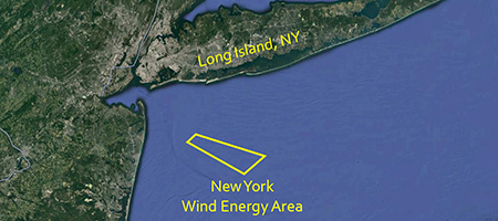
The number of homes that an offshore wind energy project that the National Centers for Coastal Ocean Science provided data for is projected to power.
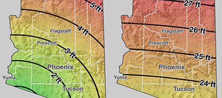
Beginning in 2023, the exact amount, in meters, that will define the foot nationwide for all applications.
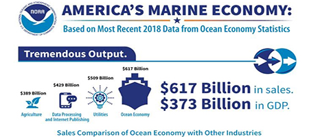
The amount of money that America’s marine economy contributed to the nation’s Gross Domestic Product in 2018.
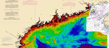
The number of nautical square miles that OCS’s National Bathymetric Source team compiled data from for the New England dataset.
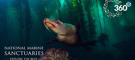
The number of people who watched ONMS’s live distance learning programs.
The number of years that NOAA’s Environmental Sensitivity Index maps have provided critical emergency response information during a disaster.
The number of software developers, data managers, and technical professionals who convened to advance capabilities to publish ocean and lake observations.
The number of aerial images NGS flight crews captured during Hurricane Laura.
The number of pollution targets the Office of Response and Restoration and the U.S. Coast Guard identified following Hurricane Sally.