U.S. flag An official website of the United States government.

dot gov icon Official websites use .gov

A .gov website belongs to an official government organization in the United States.

https icon Secure websites use HTTPS

A small lock or https:// means you’ve safely connected to a .gov website. Share sensitive information only on official, secure websites.

2022 Year in Review

This report covers staff and program office accomplishments during fiscal year 2022 — from new spatial models to help determine the best sites for new offshore wind farms to critical survey missions in the Great Lakes to the recovery of $114 million to restore areas damaged by oil and chemical spills. We hope you take some time to review the many actions NOS has taken, innovative projects we've completed, and scientific endeavors we have embarked upon to advance NOS's priorities. Browse through the highlights below and then explore all major accomplishments and activities by choosing a NOS program office from our list.


Highlights from Around NOS

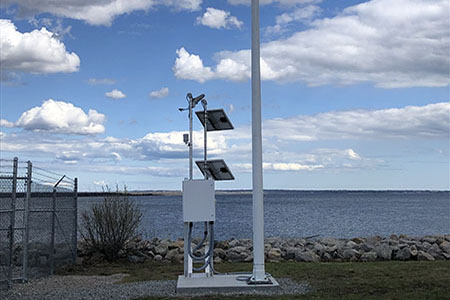
Meteorological sensors set up along the shore.

NOS launched new Physical Oceanographic Real-Time Systems (PORTS®) in Kitsap, Washington, and expanded PORTS sensors and stations in the Gulf of Mexico and New England.

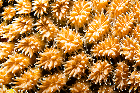
A close-up of the stony coral Galaxea fascicularis.

NOAA completed a cross-office expedition in the Mariana Islands to map and chart the seafloor, survey coral ecosystems, and gather data on environmental conditions.

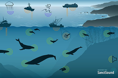
The logo for the SanctSound web portal.

NOS launched a new SanctSound web portal that allows users to hear marine sounds, learn about the importance of sound in the marine environment, and access 300 terabytes of data.

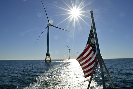
An American flag with offshore wind turbines in the background.

NOS built spatial models to help determine the best sites for new offshore wind farms, identifying locations with the potential to power over three million homes.

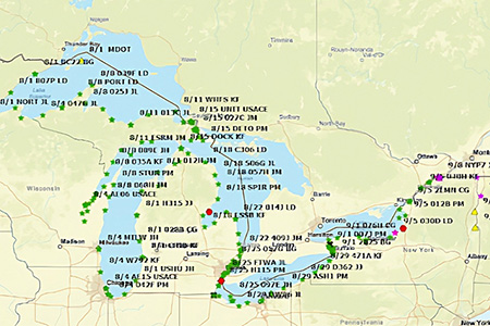
A map showing survey locations in the Great Lakes.

NOS worked with Canadian surveyors to update the International Great Lakes Datum, which is critical to marine navigation, water management, mapping and shoreline planning in the Great Lakes.

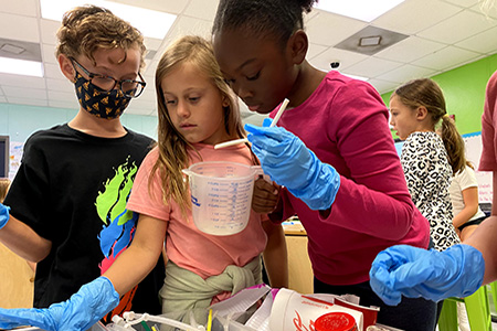
AThree students are examining various plastic objects, including straws and cups.

NOAA Planet Stewards projects engaged 5,880 K-12 students, plus hundreds of educators, university students, volunteers, and family members in environmental stewardship projects.

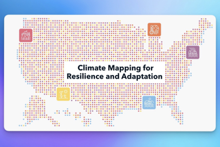
Climate Mapping Portal

NOS worked with the White House and Department of the Interior to launch the Climate Mapping for Resilience and Adaptation portal to aid planning and decision-making.

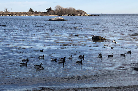
Ducks wading in estuarine waters.

NOAA designated the Connecticut National Estuarine Research Reserve, the 30th site in a reserve system that facilitates partnerships, conservation, and collaborative research.

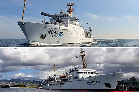
Two images of NOAA hydrographic ships.

NOAA ships completed critical survey missions in the Great Lakes, mapping parts of Thunder Bay and Wisconsin Shipwreck Coast national marine sanctuaries, and in the western Pacific, visiting areas not mapped in decades.

Logo for the 50th anniversary campaign.

NOAA marked the 50th anniversary of the National Marine Sanctuaries, Marine Mammal Protection, Coastal Zone Management, and Clean Water acts with a yearlong campaign of events and advocacy.

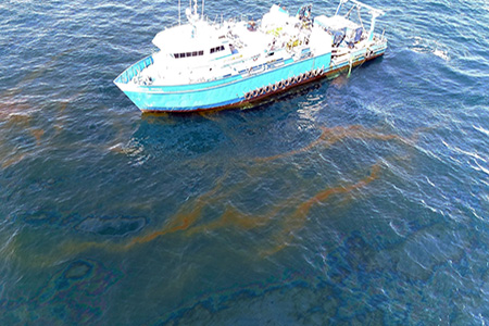
A boat in the water near oil slicks.

NOAA and partners recovered $114 million this year to fund restoration projects for three oil spill sites and three hazardous waste sites, helping to create accessible green spaces, coastal habitats, and urban waterways.

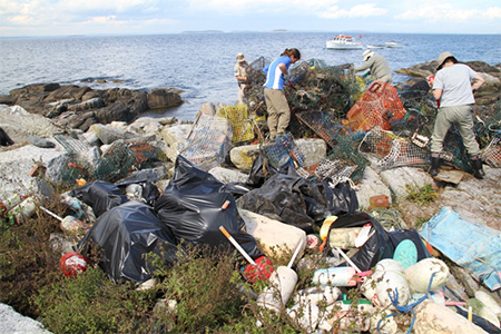
Students pose on a beach with the marine debris they collected during a beach cleanup

NOAA began using Bipartisan Infrastructure Law dollars to fund projects that support marine debris removal and interception, including a project that removed 53 tons of marine debris from Papahānaumokuākea Marine National Monument.