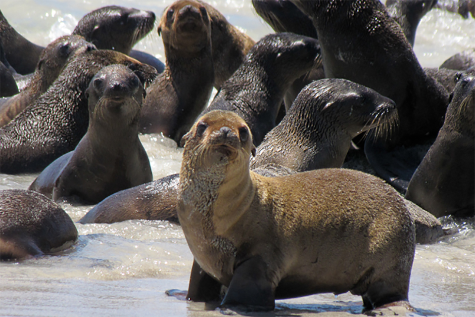
Tagging sea lions, like these, helps us gather information on their movements, range, and behavior, which reveals key behavioral information to monitor both the animals and their environments.
Animal Telemetry Network Launches Data Assembly Center
SUPPORTS NOS PRIORITIES: PREPAREDNESS AND RISK REDUCTION • STEWARDSHIP, RECREATION, AND TOURISM
In May 2019, the U.S. Animal Telemetry Network (ATN) took a big step toward full implementation with the transition of the ATN Data Assembly Center (DAC) from research to operations. Developed by Stanford University’s Hopkins Marine Station, the DAC is a database that aggregates animal telemetry data from a range of sources and offers open access to that data to researchers, scientists, and anyone else who needs it. The operational DAC, built out by Axiom Data Science, is a more universal product that supports a broad range of datasets. It is a nimble, adaptable data communications system that can be integrated with other U.S. Integrated Ocean Observing System (IOOS®) data streams, such as the environmental sensor map. Begun in 2011 and led out of the U.S. IOOS office at NOAA since 2016, the U.S. ATN is an alliance of federal, state, tribal, regional, academic, and industry tagging partners working to create a connected scientific community around animal telemetry research.
MBON Seascapes Products Available on NOAA CoastWatch
SUPPORTS NOS PRIORITIES: SAFE AND EFFICIENT TRANSPORTATION AND COMMERCE • PREPAREDNESS AND RISK REDUCTION • STEWARDSHIP, RECREATION, AND TOURISM
U.S. and global Marine Biodiversity Observing Network (MBON) partnered with U.S. Integrated Ocean Observing System (IOOS®), NOAA’s Atlantic Oceanographic and Meteorological Laboratory, and National Environmental Satellite, Data, and Information Service (NESDIS) to develop and routinely generate “seascapes” products and to make them available on NOAA’s CoastWatch. Derived from dynamic fields of satellite and modelled data, seascapes are a biogeographical framework to describe changing ocean habitats for observing marine biodiversity and other applications like coastal and fishery management. Seascapes provide information about the quality and extent of different oceanographic habitats or features, and they can be used to assess and predict different species within habitats, like plankton or fish populations. Current CoastWatch seascapes products include monthly and eight-day time steps with a spatial resolution of 1/20th of degree (~ 5 km). High resolution (1 km) case studies are planned on a case by case basis through cooperation with U.S. and global MBON partners.
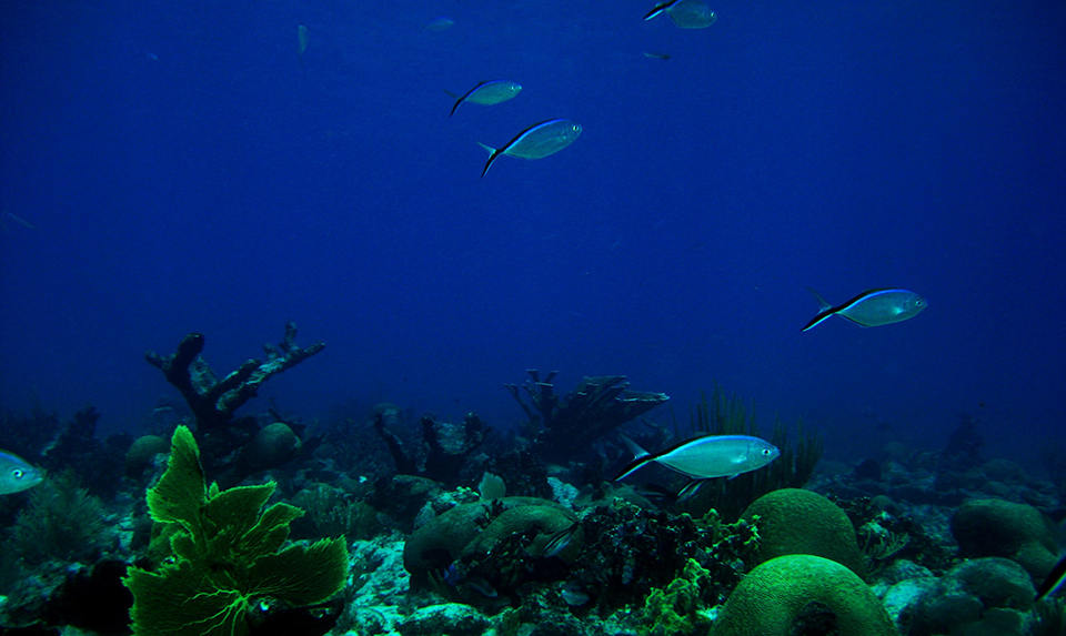
Corals and fish at the U.S. Virgin Islands: St. Croix.
New High-frequency Radars Sited in the Gulf of Mexico
SUPPORTS NOS PRIORITIES: SAFE AND EFFICIENT TRANSPORTATION AND COMMERCE • PREPAREDNESS AND RISK REDUCTION • STEWARDSHIP, RECREATION, AND TOURISM
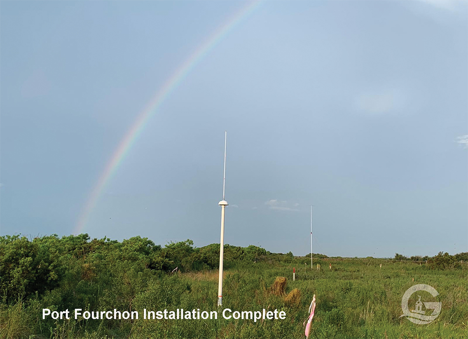
In August, 2019, IOOS and their Gulf of Mexico Coastal Ocean Observing System (GCOOS) cut the ribbon on two new high-frequency radar installations at the mouth of the Mississippi River. The radars were installed in Port Fourchon, Louisiana, on land owned by the Chevron Pipe Line Company, and were also installed in Southwest Pass (a channel at the mouth of the Mississippi River) Pilot Station. This technology will be operated by a partnership between the geo-intelligence company Fugro and the University of Southern Mississippi. Data from these radars are available through multiple platforms, including U.S. IOOS high-frequency radar map and the GCOOS Data Portal.
High-frequency radars measure the speed and direction of surface currents and transmit that data in near real-time. The data provides critical information and decision-making support for navigation, oil spill response, search and rescue operations, and more. U.S. IOOS operates the nation’s only high-frequency radar network, which encompasses more than 140 sites throughout the country and its territories.
New high-frequency radar installation: Port Fourchon, Louisiana. Credit: Gulf of Mexico Coastal Ocean Observing System.
U.S. IOOS Community Looks to the Future of Ocean Observing
SUPPORTS NOS PRIORITIES: SAFE AND EFFICIENT TRANSPORTATION AND COMMERCE • PREPAREDNESS AND RISK REDUCTION • STEWARDSHIP, RECREATION, AND TOURISM
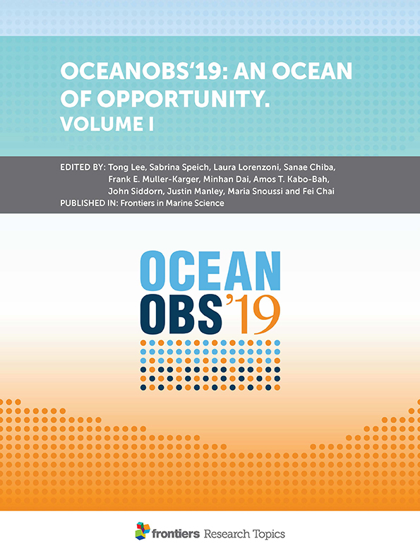
Cover of the document “OceanObs’19: An Ocean of Opportunity. Volume 1.”
 An official website of the United States government.
Social