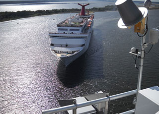
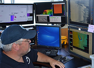
65,000 and $19 billion. The number of Floridians with jobs related to the Port of Jacksonville, and the annual dollar amount channeled into the U.S. economy from the port, where the nation's newest Physical Oceanographic Real Time System (PORTS®) was inaugurated in July 2014.
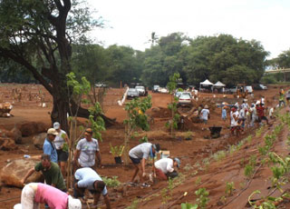
8.2. The percentage of the nation's coastal and Great Lakes coastal regions that experienced land cover or land use changes between 1996 and 2011. That's a total of 64,975 square miles—an area larger than the State of Wisconsin.
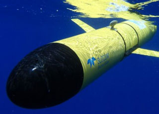
14. The number of underwater robots, called gliders, that partners of the NOAA-led U.S. Integrated Ocean Observing System (IOOS®) deployed off the Eastern Seaboard to collect important data during the fall 2013 hurricane season.
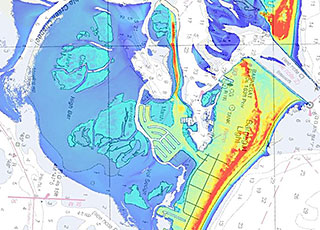
2,600. The number of square miles of near-shore light detection and ranging (LIDAR) data collected to improve coastal mapping in the aftermath of post-tropical cyclone Sandy.
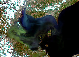
400,000. The number of people in Toledo, Ohio, who went without drinking water for two days during a harmful bloom of a toxic blue-green algae. NOAA helped officials respond to the bloom and restore the city's potable water supply.
18,000. The number of public comments that NOAA received about the recently reestablished Sanctuary Nomination Process, which allows the American people to nominate nationally significant marine and Great Lakes areas for potential designation as national marine sanctuaries.
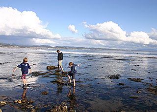
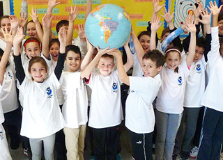
100. The number of new educators who joined NOAA's Planet Stewards Education Project, which provides professional development opportunities and a collaborative online learning community for educators nationwide.