U.S. flag An official website of the United States government.

dot gov icon Official websites use .gov

A .gov website belongs to an official government organization in the United States.

https icon Secure websites use HTTPS

A small lock or https:// means you’ve safely connected to a .gov website. Share sensitive information only on official, secure websites.

The Elements of Geodesy: The Horizontal Datum

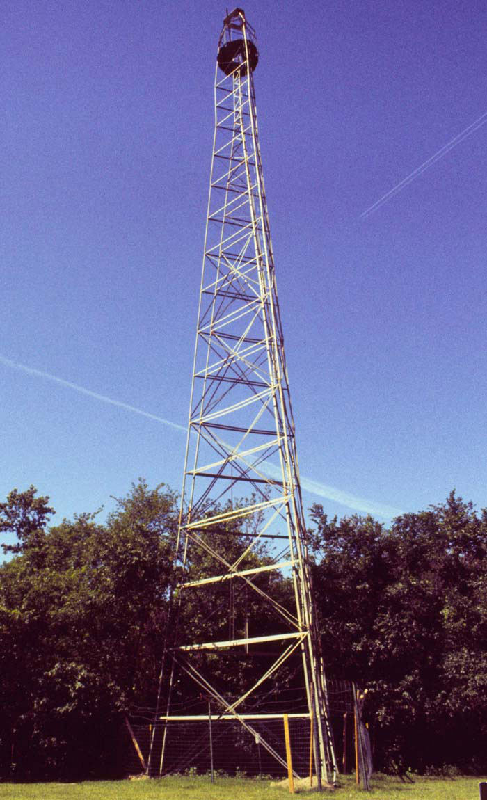
Before the Global Positioning System became available for use by the general public, geodesists would "connect" geodetic reference points together using a method called triangulation. This method required a "line of sight" between markers. When the monument was located on flat ground, large towers such as this were often erected above them. This allowed geodesists to observe the markers' accurate position over large distances.

Geodetic survey tower
More Information
Roadmap to Resources Subject Review Is the Earth round? (Ocean Facts)
a drawing of a city with text that says location science improves everyday life

Geodesy Education

Heard of geodesy? These videos from NOAA's National Geodetic Survey offer a deep dive into the science of knowing where you – and everything else is in the world!

NSTA - National Science Teachers Association

The National Science Teaching Association (NSTA) includes this resource in its database. NSTA provides educators and students access to Web-based, educationally appropriate science content that has been formally evaluated by master teachers.

Search Our facts
Get Social
Last updated:
02/26/21

Author: NOAA

How to cite this article

Contact Us