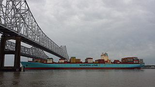
The National Ocean Service's navigation, observation, and positioning offices (OCS, IOOS®, CO-OPS, NGS), and the National Weather Service, partnered with the Port of Long Beach and a private company in a pilot project to develop a highly accurate underkeel clearance system for ships using the port channel. The resultant decision-support tool will allow large ships to access the port with a high degree of confidence that their keels will clear the channel. (Bottom clearance for the largest ships can be less than one meter.) Shipping companies will save an at least $10 million per year when they no longer need to offload cargo from vessels offshore before they enter the port. The project provides high-resolution hydrographic surveys, wave buoys, water levels, and the development of a new nearshore wave prediction system. Navigational software manufacturers can use the data along with other NOAA data streams, such as wave forecasts and water levels, to visually portray real-time and forecasted depths, as demonstrated by a "precision navigation" demonstration created by Coast Survey. This pilot project is a model for future collaborations in other seaports where integration of high-resolution data and products can improve navigation safety margins. This next generation of navigation services will give ship operators, port managers, pilots, and shipping companies the ability to conduct safe, efficient, and around-the-clock operations regardless of ocean conditions.

Seeking to improve nautical charts for maritime traffic transiting the increasingly busy Straits of Florida, the Office of Coast Survey met with Cuba's National Office of Hydrography and Geodesy to resolve charting challenges that interfere with smooth navigational transitions from Cuban waters to U.S. waters. Officials met in Havana, Cuba to initiate discussions and collaboration on reducing gaps and improving coverage of international and domestic charts. The hydrographers of both countries can now coordinate chart coverage and data acquisition.

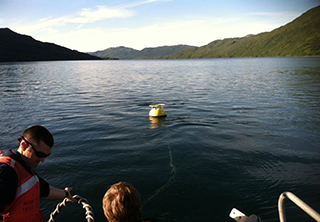
NOAA's Office of Coast Survey, in cooperation with the Center for Operational Oceanographic Products and Services and the National Geodetic Survey, completed a demonstration project to improve system operations and water level measurement capabilities of a GPS-equipped buoy system. These efforts originally began with the Small Business Innovative Research (SBIR) program, followed by collaborative work between Coast Survey and the United States Navy, resulting in the procurement of two demonstration buoys. The decision in 2015 to approve the GPS buoy system for use in hydrographic surveying applications culminated a five-year evaluation project across distinct oceanographic environments in the National Water Level Observation Network. The Coast Survey GPS buoy system is now incorporated in hydrographic survey project planning for three operational scenarios: tidal reconnaissance, tidal datum computation, and water level determination.

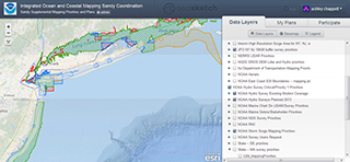
To improve coordination of data acquisition in U.S. waters, NOAA's Integrated Ocean and Coastal Mapping Program (IOCM) expanded the scope of its ocean and coastal mapping SeaSketch site. The site also includes information on topographic data acquisition plans generated by the 3D Elevation Program, a terrestrial-focused working group that complements the Interagency Working Group on Ocean and Coastal Mapping. The U.S. federal mapping coordination site now displays federal and state mapping requirements, plans, and priority areas of many partners on various levels, which will improve decision making throughout all levels of government.

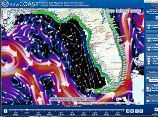
NOAA's Office of Coast Survey released a new version of nowCOAST, a GIS-based online mapping portal that provides near-real-time observations and forecasts for coastal and marine weather, and oceanographic and hydrologic conditions. The new version provides more frequent updates. It also offers a visual point-and-click access to 60 NOAA data products and services, such as the latest National Weather Service watches, warnings, and advisories for hazardous conditions; GOES water vapor imagery; model forecast guidance from additional NOS oceanographic forecast systems; higher temporal resolution of weather and marine forecasts; and satellite-emulated lightning strike density. For advanced users, the new version now provides access to nowCOAST's map layers via time-enabled REST and Web Map Services.
Coast Survey implemented this new nowCOAST version in collaboration with the National Weather Service GIS hosting facility in College Park, Maryland. This implementation ensures availability of nowCOAST's map viewer and map services 24 hours a day, 7 days a week for emergency management, homeland security, search and rescue, HAZMAT response, and marine operations.
 An official website of the United States government.
Here's how you know we're official.


