NOAA’s Office for Coastal Management (OCM) works to keep the nation's coasts safe from storms, rich in natural resources, and economically strong. The office administers the National Coastal Zone Management Program, the Coral Reef Conservation Program, the Digital Coast, and the National Estuarine Research Reserve System.
NOAA Will Make $575 Million Available under the Climate Resilience Regional Challenge
NOS Priorities: Increase U.S. Coastal Resilience; Accelerate Growth of the Ocean Enterprise and the Blue Economy
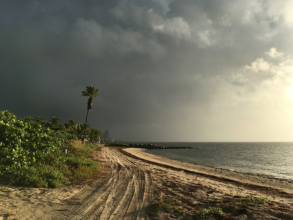
In 2023, NOAA launched the Climate Resilience Regional Challenge, a new grant program, with funding through the Inflation Reduction Act. The grants will provide an opportunity to implement transformative resilience-building and climate adaptation projects within communities. The focus is on increasing resilience to extreme weather events such as hurricanes and storm surges and to longer-term, chronic hazards such as sea level rise, erosion, and heat stress. Funds will be used to implement regional adaptation actions and to initiate and advance collaborative regional efforts that will reduce risk in coastal areas, ensure federal and state resources are synchronized for maximum impact, and benefit disadvantaged communities.
Climate Resilience Regional Challenge funds will help coastal communities build resilience to storms like this one approaching a Miami beach. (Credit: Sarah Beggerly)
NOAA Awarding Millions in Bipartisan Infrastructure Law Funds for Coastal Resilience
NOS Priorities: Increase U.S. Coastal Resilience; Accelerate Growth of the Ocean Enterprise and the Blue Economy
NOAA’s OCM is administering $832 million from Bipartisan Infrastructure Law funds over the next five years, representing a historic investment in coastal protection and restoration. In FY 23, the office awarded $109 million, including funds leveraged from the Inflation Reduction Act, to support restoration and conservation projects through the National Coastal Zone Management Program and the National Estuarine Research Reserve System. At least eight projects will be carried out in partnership with or directly by tribes, including acquisition and conservation of significant ancestral lands. Using infrastructure law funds, the National Coastal Resilience Fund, a partnership between NOAA and the National Fish and Wildlife Foundation, invested approximately $144 million, along with their annual appropriation, for 96 projects that will help communities prepare for increasing coastal flooding and more intense storms while improving coastal habitats. And approximately $21 million in infrastructure law funds was awarded to support regional ocean partnership projects and data sharing, including four awards to tribes to enhance their ability to engage with regional ocean partnerships.
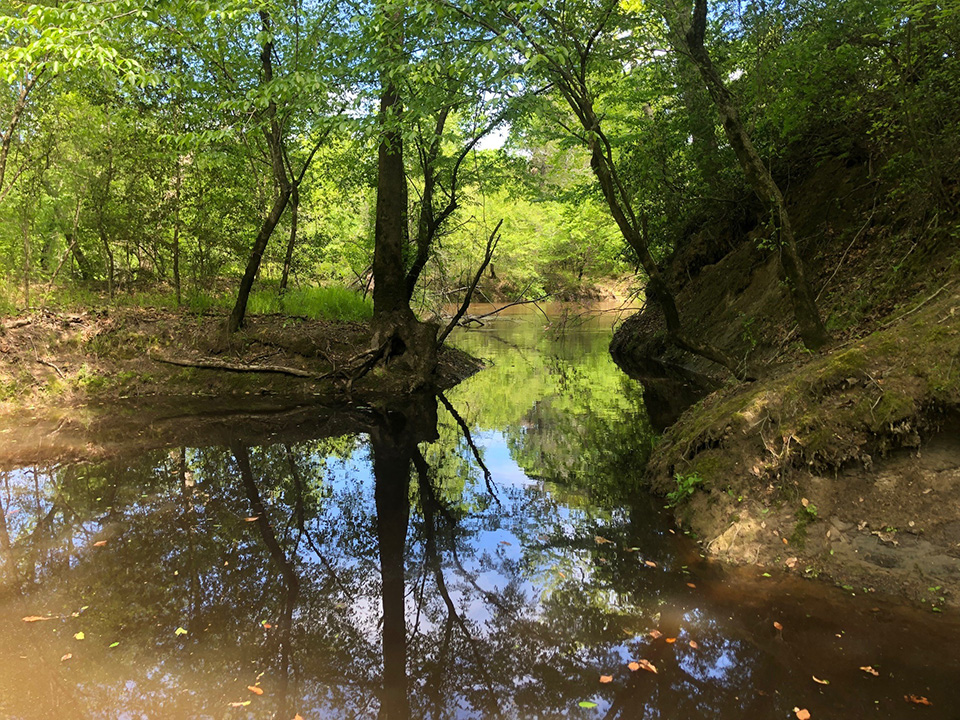
In Ohio and Virginia, a combined total of almost 1,000 acres was acquired for restoration and conservation, with Virginia’s efforts restoring the Upper Mattaponi Tribe’s role as environmental stewards of its ancestral homelands.
The Mattaponi River runs through land that is culturally and ecologically significant to the Upper Mattaponi Tribe of Virginia. (Credit: Upper Mattaponi Tribe)
Improved Data Available on OCM Products
NOS Priorities: Increase U.S. Coastal Resilience; Accelerate Growth of the Ocean Enterprise and the Blue Economy
As data becomes more refined, so do the important decisions being made to better our nation’s coastal resilience. The Sea Level Rise Viewer added higher accuracy elevation data and flood risk maps, and several locations are represented in the tool for the first time. MarineCadastre.gov, the most comprehensive ocean GIS data resource available, added new aquaculture sites, military operating areas, submarine cables, wastewater outfalls and facilities, and vessel traffic, the most popular dataset on the platform. Now, land cover data is available at a one-meter resolution, including the first ever full-scale coverage of the state of Alaska, making this an invaluable tool suitable for local use, saving communities time and money.
The Sea Level Rise Viewer, which goes through regular data updates, helps users see, among other things, the potential impact of sea level rise on coastal flooding. (Credit: NOAA)
NOAA’s Coastal Research Continues
NOS Priorities: Increase U.S. Coastal Resilience; Conserve, Restore, and Connect Healthy Coastal and Marine Ecosystems
The agency’s National Estuarine Research Reserve System’s (NERRS) Science Collaborative uses a competitive process designed to fund the science that furthers the nation’s knowledge about the natural environment and human-made influences. This year, 17 projects that involve 27 research reserve sites and total more than $2 million for a single year were selected. These projects are tackling a range of practical, pressing coastal issues, including understanding the role salt marshes play in mitigating climate change, evaluating oyster reefs as habitats, exploring applications of Indigenous knowledge and management practices, and more. The Science Collaborative program disseminates the knowledge, processes, and key lessons learned to support coastal decision-making across NERRS and beyond.
Kunz Marsh in Oregon’s Coos Bay Estuary was restored with the help of the NERRS Science Collaborative. (Credit: Chris Janousek)
 An official website of the United States government.


Social