U.S. flag An official website of the United States government.

dot gov icon Official websites use .gov

A .gov website belongs to an official government organization in the United States.

https icon Secure websites use HTTPS

A small lock or https:// means you’ve safely connected to a .gov website. Share sensitive information only on official, secure websites.

2023 Year in Review

Fiscal year 2023 was a banner year for the National Ocean Service, highlighted by the release of a new strategic plan that will guide our efforts through 2028. As you review this report, note how all of our activities align with our key strategic priorities. These accomplishments demonstrate how we are leveraging our broad expertise to meet the nation's growing need for ocean and coastal products and services. We hope you take some time to review the many actions NOS has taken, innovative projects we've completed, and scientific endeavors we embarked upon in the past fiscal year.


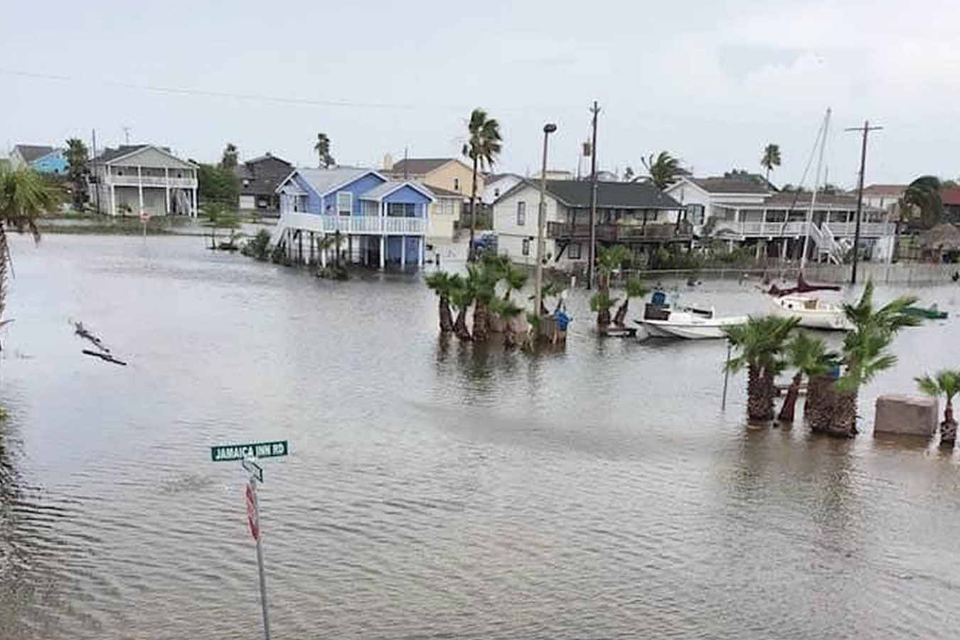
Persistently elevated water levels cause high tide street flooding on Galveston Island, Texas, in June 2020. Credit: Sheri Cortez
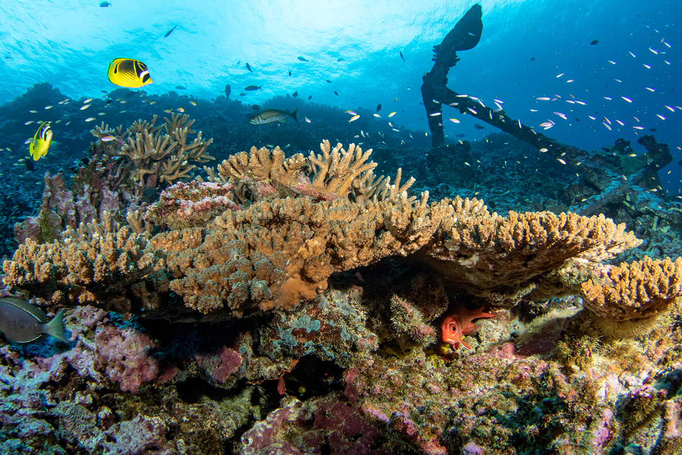
Resilience-based management is used to protect and conserve coral reef ecosystems.  
				Credit: NOAA Fisheries/Jeff Milisen
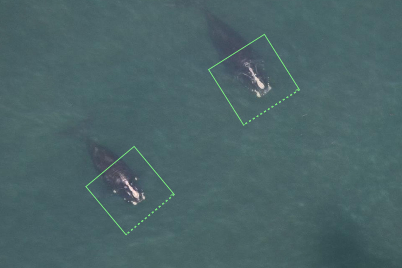
Two whale photos tagged for AI detections. Permit #17355. Credit: NOAA Fisheries
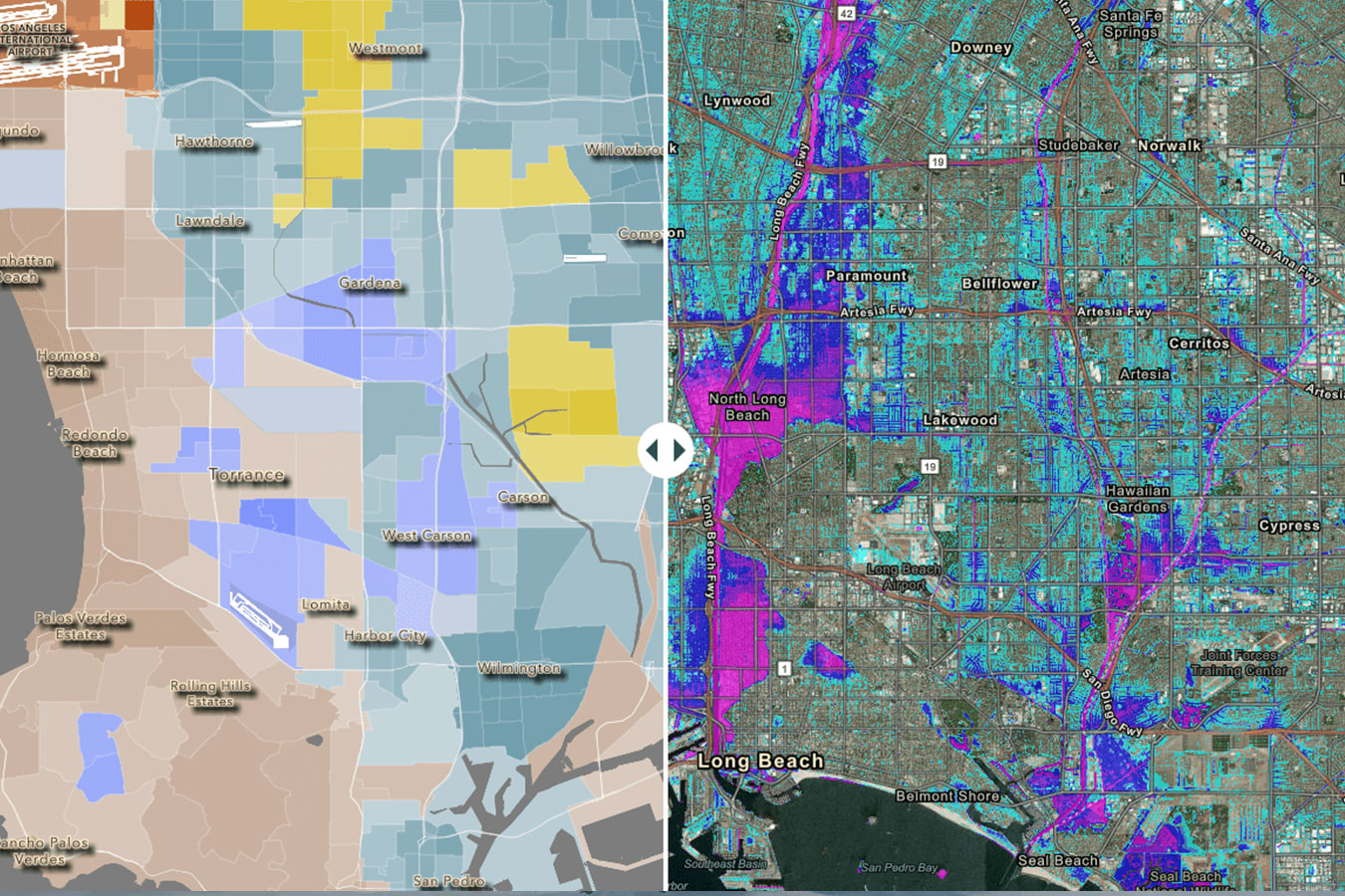
Los Angeles flood risk study maps showing flood depth (right) and the distribution of residents by predominant race/ethnicity (left), October 2022. Credit: University of California, Irvine
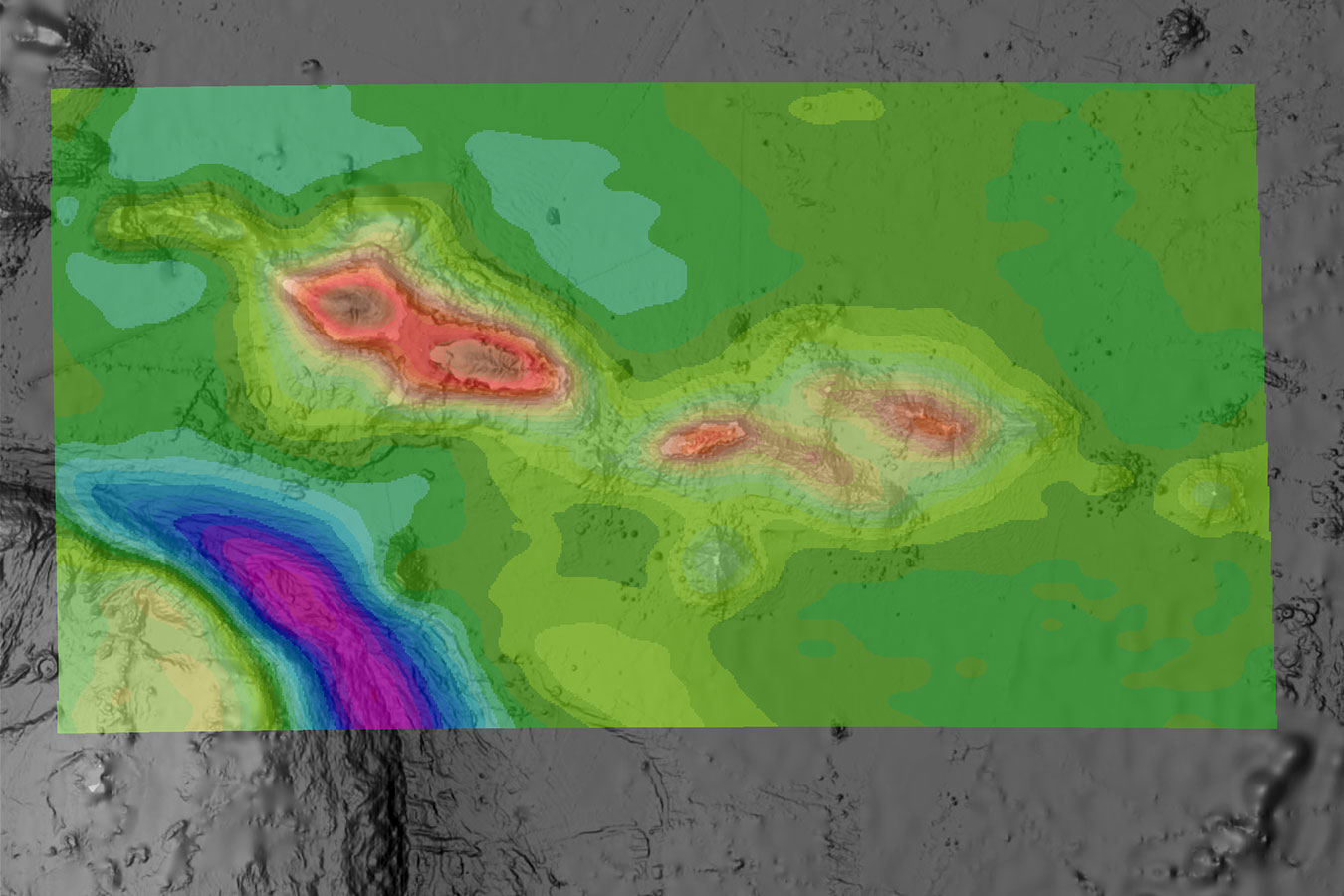
map showing the gravity disturbance for the American Samoan region. Gravity disturbance is the difference between observed gravity and the normal gravity at the same location. Normal gravity can be calculated mathematically based on what the gravity field would be like if Earth was truly a uniformly dense ellipsoid. Credit: NOAA
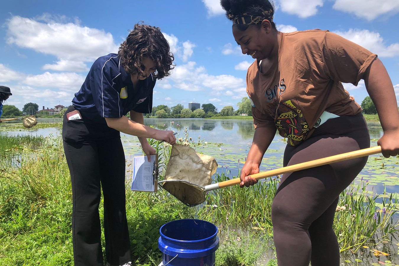
Teachers sample a local pond to determine the health of the water during the July 2023 NOAA Planet Stewards summer workshop on Climate Justice: Exploring the Science of Climate Change in Your Classroom. Credit: NOAA
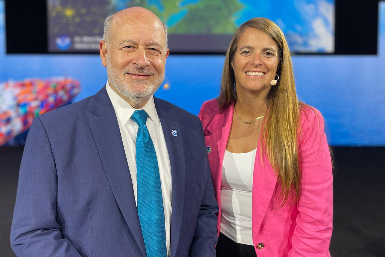
With the support of IMO, NOAA Administrator Dr. Rick Spinrad and NOS environmental scientist Mimi D’Iorio delivered a technical demonstration in the opening plenary session of a global conference that attracted over 20,000 attendees. Credit: NOAA
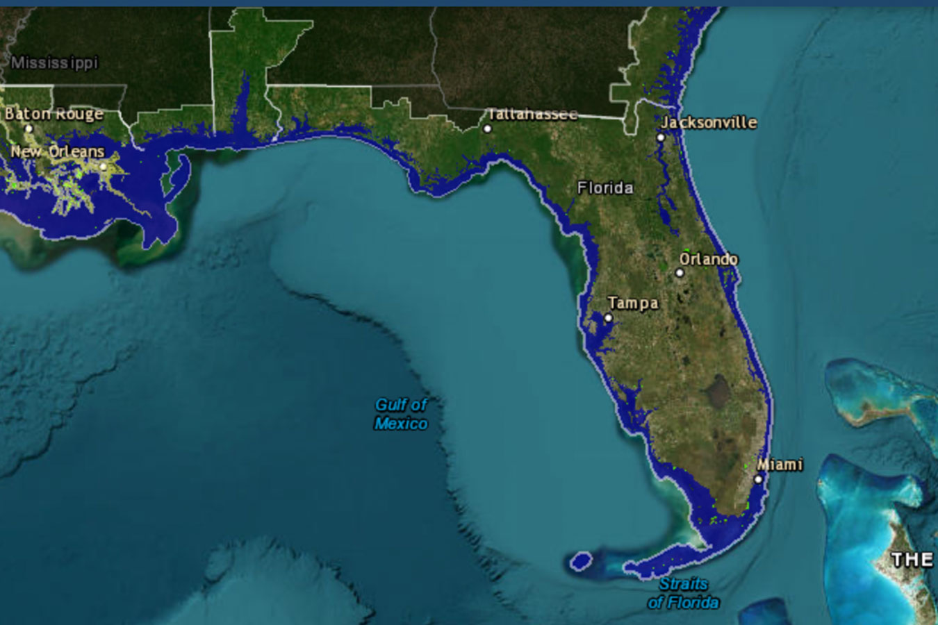
The Sea Level Rise Viewer, which goes through regular data updates, helps users see, among other things,  the potential impact of sea level rise on coastal flooding. Credit: NOAA
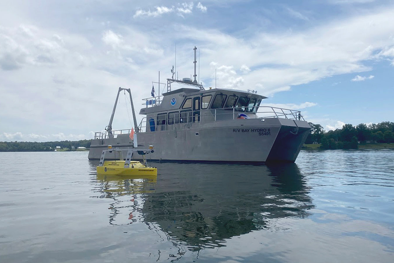
NOAA's Bay Hydro II on the water with the Echoboat 240, an uncrewed surface vehicle, in the foreground. Credit: NOAA
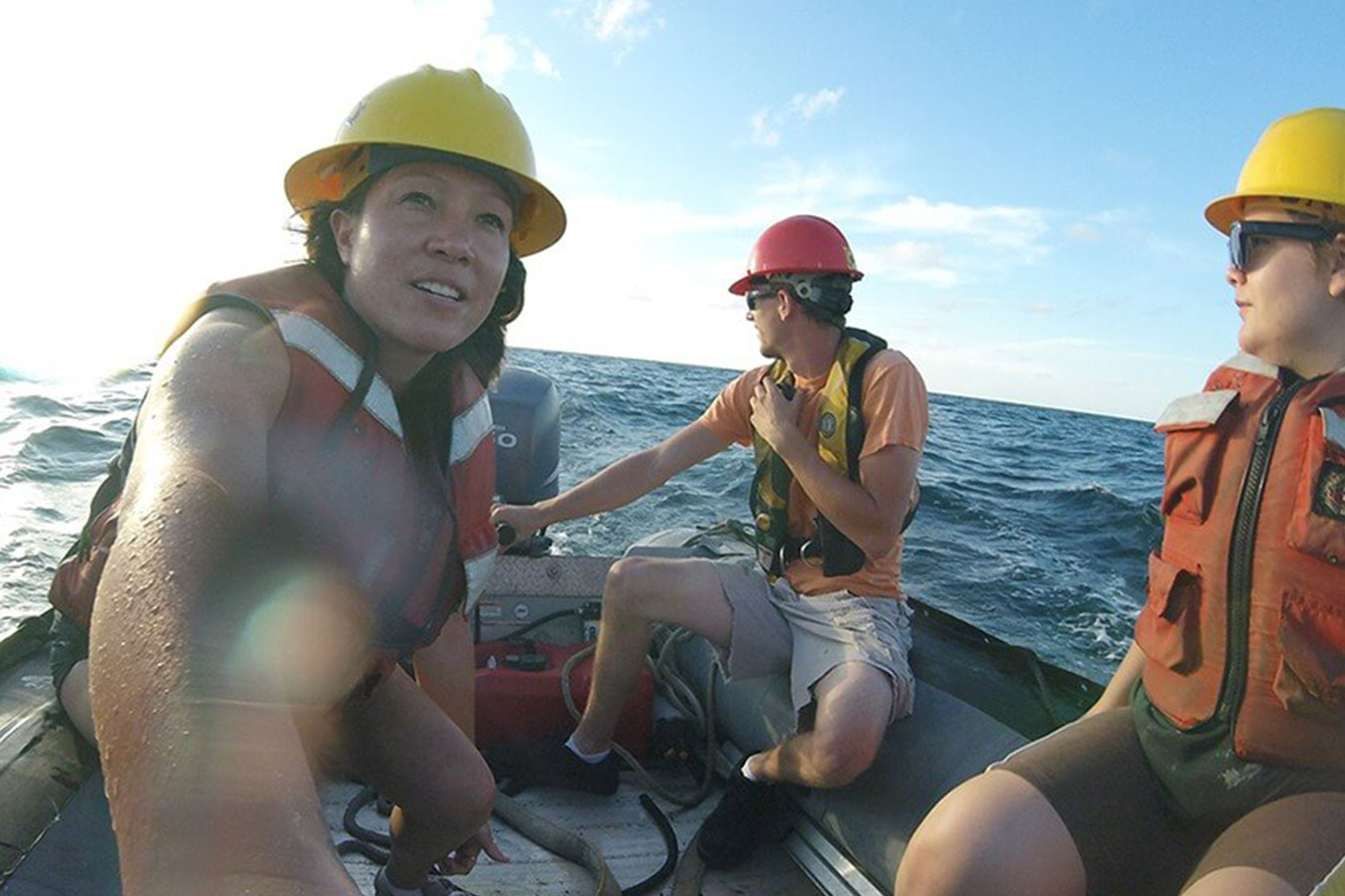
After Hurricane Harvey in 2017, Dr. Nancy Foster Scholar Andrea Kealoha and her colleagues at Texas A&M University collected water samples in the Gulf of Mexico that were analyzed to determine the hurricane’s impact on the ocean. Collecting localized data is important in developing climate vulnerability assessments unique to specific places. Photo: Andrea Kealoha
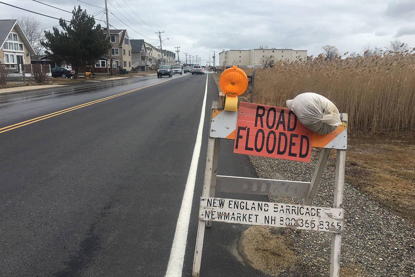
High Street flooding. Credit: New Hampshire Sea Grant