A Vision for NOS Modeling
Protecting our coastal communities and the nation’s economy.
Coastal communities are home to 42% of the U.S. population, contribute 48% to the Gross Domestic Product, and are projected to continue growing and developing. However, our nation’s coastal communities are at increasingly greater risk due to a changing climate. In particular, coastal communities face mounting threats and costs from combinations of: life-threatening extreme weather events; increasingly congested seaports; harmful algae and pollutant loading; and changing ecosystems. Moreover, aging and deteriorating infrastructure cannot accommodate more frequent and intense floods due to sea level rise, subsidence, and high tide flooding. The failure of these systems threatens fresh water supplies, transportation systems, and energy, agricultural, and other types of infrastructure not meant to be inundated, especially with salt water.
Making sound decisions requires easy access to reliable and timely coastal predictions of environmental parameters such as water levels, currents, water temperature, salinity and others that are provided by the NOS modeling suite where they are most needed. Improving stakeholder access to authoritative and best available information will reduce risks to life and property, enhance the economy, and promote social well-being in concert with our treasured coastal environment. NOAA, particularly the National Ocean Service and its community of partners, is well positioned to meet such decision-support needs.
A Community Approach to Modeling: The success of NOS’s modeling program relies on the collaboration and contribution of the larger modeling community. NOS works with its external research partners to enhancing its modeling capabilities by:


Individuals and communities nation-wide, understand and use reliable, accurate, and accessible predictions of coastal conditions.
The delivery of operational modeling products and services that meet users’ needs requires extensive stakeholder engagement, from research and development to operations and back again. NOS has a broad stakeholder base that craves reliable predictions of coastal conditions.
The vision for the NOS modeling suite is to deliver nowcasts, forecasts, reanalysis, and decadal/ climate-scale projections, from regional models for the entire U.S. coastline. Global ocean, coastal/estuarine, and Great Lakes modeling capabilities must be integrated into the NOAA Unified Forecast System to provide improved weather, climate, hydrologic, and ecological predictions. State of the art advances, such as real time data assimilation or coupling with atmospheric and hydrologic models, are collaboratively developed and integrated into the system.
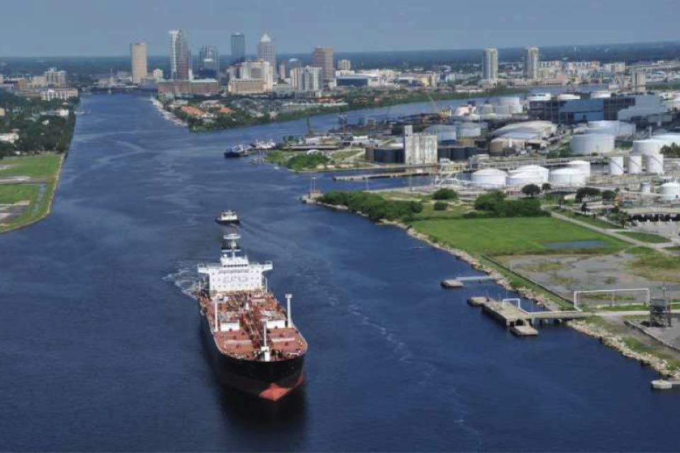
Navigation customers need predictions of coastal conditions at seaports and waterways to navigate safely, optimize routing and scheduling, reduce emissions, and maximize cargo loading.
The NOS vision is to provide accurate, reliable, and accessible predictions of coastal conditions along the entire coast of the continental U.S., for use by marine pilots and other maritime stakeholders to support planning decisions up to 14 days in advance.
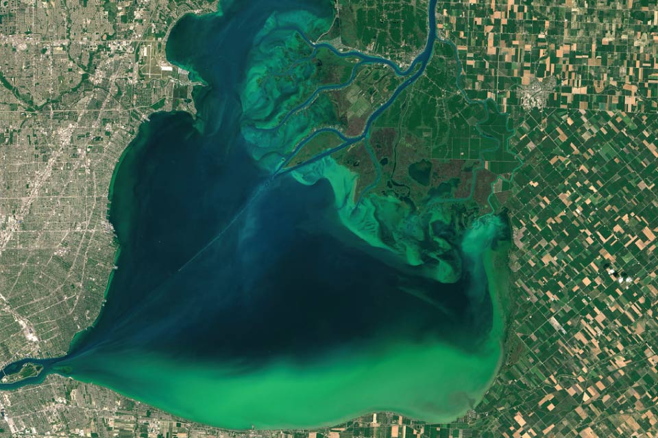
Harmful algal blooms, hypoxia, and pathogens pose significant threats to human health and coastal economies.
The NOS vision is to provide the scientific information and predictions coastal managers require to inform decision making, protect public health, and improve the ways communities interact with coastal ecosystems.
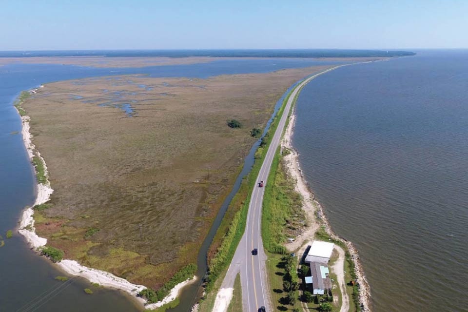
Climate change and climate change impacts, including severe weather events, are perhaps the biggest threats to coastal communities. NOAA is accelerating the advancement of numerical weather and water prediction. The agency is also improving its use of numerical models to provide enhanced climate prediction capabilities. Given the importance of oceans and coasts within the Earth system, NOS has a critical role to play in both of these efforts.
The NOS vision is to provide projections of changing coastal conditions to help coastal communities better assess their risks and plan for the future.
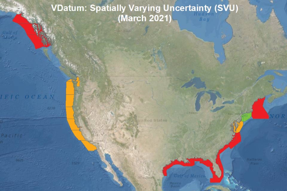
Geospatial products and mapping tools are essential for assessing vulnerability to coastal hazards. The coastline is a critical connection point between terrestrial and oceanic domains. Ensuring a consistent reference frame spanning these domains enables spatial analyses of hazards with respect to the built environment in the coastal region, particularly those that vary with time. These analyses then feed further modeling and tools, such as NOAA’s VDatum tool.
The NOS vision is to provide a consistent and modern spatial reference frame to provide improved accuracy and coverage for modeling and transformation tools across the littoral and coastal regions.
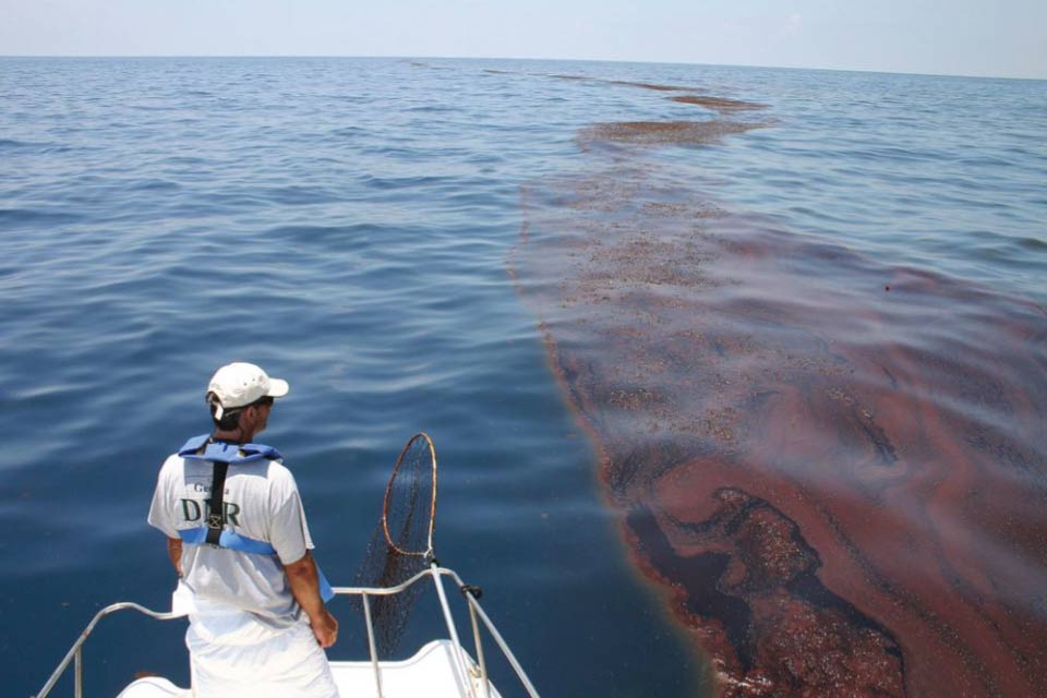
Responding to emergencies at sea requires situational awareness of the current and predicted environmental conditions to inform how a situation may evolve and ensure the safety of responders. Two prime examples are NOAA’s hazardous materials response mission and U.S. Coast Guard’s search and rescue operations.
The NOS vision is to provide timely, accurate, and response relevant information at appropriate regional and spatial scales to rapidly inform decision making in search and rescue operations and efforts to mitigate the threat from pollutants released into the coastal environment.
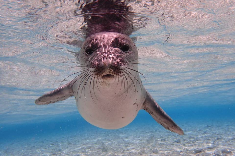
Changing climate and oceans are significantly impacting the nation’s valuable coastal and marine living resources and the many people, communities, and economies that depend upon them. NOS is developing integrated physical-biological predictions to support coastal and marine living resource management decisions.
The NOS vision is to enhance prediction-based ecosystem management, understand the effects of climate change on living marine resources, and identify risk reduction strategies that optimize adaptation and resilience.