Donut chart showing how Kevin Jordan, Cartographer, spends his time.
30% Planning/testing/prepping
30% Fieldwork
30% Data processing
10% Training and support of other colleagues
Kevin works for NOAA’s National Geodetic Survey (NGS), where he operates, deploys, and maintains a fleet of land survey equipment, such as GPS systems and laser trackers. NGS is responsible for providing a framework for all of the positional activities throughout the nation. NGS experts use a wide range of tools and techniques in geodesy to update and improve upon the data used for navigation, communications systems, mapping, and charting.
How did you get to where you are now in your career?
My college education focused on physical sciences like geology and geography. My first land survey position was with a local survey firm to determine how much more garbage could be added to a landfill using a total station (a surveying instrument used to measure angles and distances). I enjoyed the physical earth in a digital format (a digital elevation model). I later moved on to work at NOAA in 2006 and eventually transitioned to NGS where I have been for the last 15 years!
When did you realize you wanted to pursue this career?
I realized how interesting my career was during my first field assignment. Applying my skills to help others solve complex problems with instrumentation that I can readily configure, use, and troubleshoot feels natural to me. I realized how valuable this service was to the NOAA mission — there was a constant cycle of challenges, growth, execution, solution, and reward.
What is an example of something rewarding or exciting about your job?
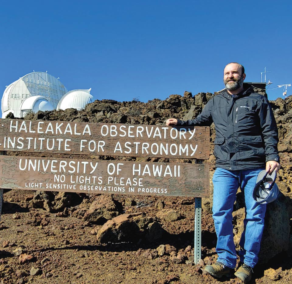
My career involves performing local tie surveys around the nation at places where various astronomic measuring instruments are located. These instruments support the International Rotation and Reference Systems Service (IERS). Basically, I get to go to very cool locations to perform high-accuracy land survey observations on various independently operating Space Geodetic Techniques (SGTs) to tie them together spatially. This task enhances the capability of maintaining and updating the International Terrestrial Reference Frame (ITRF).
Who is a person who influenced you or encouraged you?
Doug Adams (retired), my first mentor at NOAA, was very influential in the mindset that I keep today. As a field surveyor, our challenges are about 10% planning and 90% problem solving. You never know what challenges you may experience in the field until you're there (weather, communications, hardware, software, environmental factors).
Name: Kevin Jordan
Location:Chesapeake, Virginia
Education:Bachelor of Science
National Ocean Service Program Office:National Geodetic Survey
 An official website of the United States government.
Social