Satellites and Tide Stations, Working Together
Real-time tide station readings validate sea surface height measurements made from space.
The Ground Truth
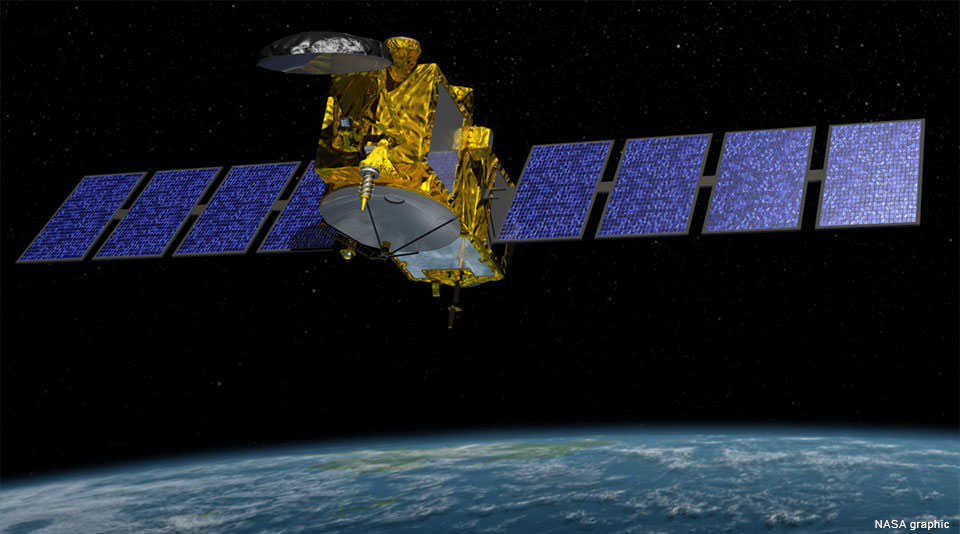
This is an illustration of the Jason-3, launched into orbit in January 2016. Measuring sea surface heights is a primary mission of the new satellite. The accuracy of these space-based sea surface measurements are validated by comparing them with real-time observations of water levels made by tide stations in the ocean.
Jason-3—a NOAA-led, international mission—is the newest in a series of satellites designed to provide long-term highly-detailed measurements of sea surface height. This information is vital to measure global changes to the world ocean. The satellite employs radar altimetry sensors that measure the time a signal takes to bounce off the ocean surface and return to the satellite, providing global measurements of sea surface height. But how do we know if the Jason-3 is collecting accurate information?
From Space to Shining Sea
To ensure that the space-based sensors take accurate measurements, a NOAA water level station located on an oil platform 10 miles offshore of Santa Barbara, California, is used as the primary verification site for the Jason-3 satellite. This is one of only two locations in the world used for this purpose. Because satellite altimetry degrades significantly as it nears the coast, the station must be offshore to allow for a valid data comparison. The satellite passes over the station once every 10 days. The other tide station used to verify Jason-3 data is located near the Italian island of Corsica, and is operated by European partners.
Tying it Together
The Jason-3 is the latest in a series of satellites that collect sea surface height data over a span of many years. The Jason-CS mission, scheduled for the 2020s, will follow the same ground track as Jason-3, which is the same track used by previous Jason and Topex satellites. Since each satellite flies at different elevations above the Earth, NOAA tide stations serve to adjust the data from all of these satellite missions to a common reference framework. This makes it possible to use all of the data collected by various satellites over the years as part of one continuous record.
These highly detailed measurements of sea surface height, used to study sea level rise, are a critical factor in understanding Earth's dynamic climate. Sea surface height data are also used to study hurricane intensity, tsunami dynamics, El Niño Southern Oscillation, eddy dynamics, ocean boundary currents, coastal and shallow water tides, and weather and climate forecasting.
Jason-3 is an international cooperative mission in which NOAA is partnering with the Centre National d'Etudes Spatiales (CNES, France's governmental space agency), European Organisation for the Exploitation of Meteorological Satellites (EUMETSAT), and National Aeronautics and Space Administration (NASA).
Did you know?
NOAA continuously takes real-time, accurate measurements of water levels at 210 stations around the country. This data is monitored around the clock and verified by experts to ensure it is of the highest quality. This National Water Level Observation Network helps mariners navigate safely, helps local communities understand the impacts of sea level rise, and also supports emergency response efforts. Examples include tracking water levels along a storm's path, monitoring storm tides, and providing information for tsunami warnings and detection.
