How does NOAA monitor water levels around the nation?
NOAA monitors water levels in the U.S. with the National Water Level Observation Network.

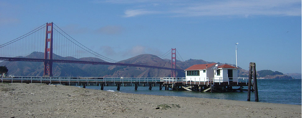
An NWLON station in San Francisco, California.
The National Water Level Observation Network (NWLON) is a permanent observing system that includes 210 continuously operating water level stations throughout the U.S. and its territories. NWLON is the “go-to” source for government and commercial-sector navigation, recreation, and coastal ecosystem management.
Accurate water level data is critical for many coastal activities, from navigation and engineering to restoration and preservation. In addition to water levels, the stations measure other oceanographic and meteorological parameters such as water temperature and wind speed. NOAA uses this information to ensure safe navigation through access to real-time data 24 hours a day, seven days a week. NOAA nowcast and forecast models use the data to provide a look into present and future oceanographic conditions, which can enhance tsunami and storm surge warnings. NOAA also uses this data to publish annual tide predictions.
NWLON provides historical as well as present-day water level information. Historical data is used to compute relative local mean sea level trends and to understand the patterns of high tide events. The first water level observing stations were established in the 1850s, and some have been collecting data ever since!
NWLON is managed by NOAA’s Center for Operational Oceanographic Products and Services.
Search Our Facts
Get Social
More Information
Did you know?
Approximately one-quarter of NWLON stations are located in the Great Lakes to provide water level data for the international management of those water resources.

Last updated: 06/16/24
Author: NOAA
How to cite this article