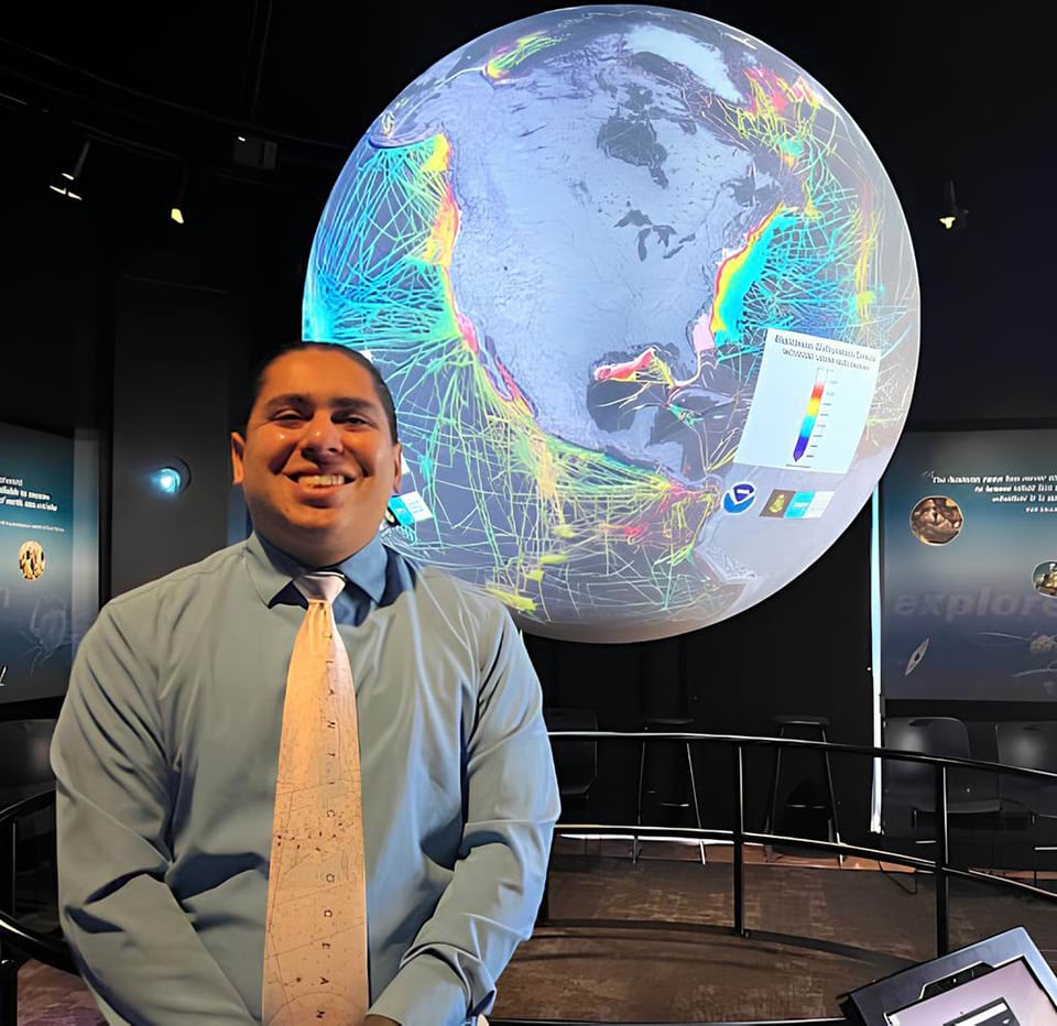
Julio Castillo, Cartographer/International Affairs Analyst
Julio Castillo, Cartographer/International Affairs Analyst.
Julio works as a cartographer and international affairs specialist at the Office of Coast Survey; the office maintains the nation’s nautical charts across the coasts and the Great Lakes. The Office of Coast Survey also provides emergency surveying services and regional support to navigational managers while developing new technology to update mapping technology.
Describe how you came to be where you are today in your career.
In college, I interned for NOAA’s Office of Coast Survey’s Nautical Data Branch and learned about how different data from various sources is used by our nation’s mariners through nautical charts. After the completion of my internship, I worked as a contractor in the Marine Charting Division, or MCD, where I applied the Geographic Information System and cartography skills I learned for two years in college. In 2016, I was hired within a branch of the Marine Chart Division supporting nautical charts in the Southeast U.S. and Gulf Coast. The past seven years I’ve had plenty of learning and positive experiences within MCD, and this year I had the opportunity to do a detail in a different role supporting the Office of Coast Survey’s International Program.
When or how did you know you wanted to pursue your current career?
When I was 12 years old, my family moved across the country from California to Maryland. This was before the advent and popularization of GPS navigators, so my dad handed me a Rand McNally Road Atlas and we hit the road. It was then that I realized I loved looking at maps, and then in college I learned the true “power of where.” Through classes, projects, and research, I gained an appreciation for how geographic data and the way it’s displayed can inform smart decisions and make a positive impact in the world.
Describe a person who influenced or encouraged you.
Many people have helped me become the professional I am today. My parents supported my studies in a field I initially knew little about, while my favorite college professor and advisor, Tanya Allison, sparked my passion for geography and cartography. My current supervisor, Tara Wallace, always encouraged my professional development and growth through classes, training, and participation in various Office of Coast Survey events.
Describe a time your work felt exciting or rewarding.
In 2016, I had the opportunity to assist the Office of Coast Survey host a Cuban delegation in Silver Spring, Maryland. I reviewed new aid-to-navigation data shared from our Cuban colleagues and made those updates to NOAA charts. Some of this information had not been updated in decades due to the state of political relations between our two nations, so it was an incredible opportunity to help improve maritime safety through this bilateral relationship.
How has your cultural background/history influenced your career?
My parents hail from Peru and Guatemala; I was raised in a bilingual household, speaking both English and Spanish regularly. My bilingual skills have allowed me to serve as an interpreter and translator on occasion throughout my career, and have created opportunities I wouldn’t have had otherwise. I find that communicating with colleagues in other countries in their native language often puts them at ease and can facilitate better working relationships over time.
Name: Julio Castillo
Location:Silver Spring, Maryland
Education: B.S. in Geographical Sciences, specializing in GIS and Computer Cartography; A.A.S. in Applied Geography
National Ocean Service Program Office:Office of Coast Survey (OCS)
 An official website of the United States government.
Social