Donut chart showing how Tara Wallace, branch chief, Marine Chart Division, spends her time.
40% Manage production of nautical charts
25% Respond to internal and external inquiries
25% Attend meetings
10% Administrative tasks
The Office of Coast Survey’s Marine Chart Division maintains over 1,000 nautical charts, detailing over 95,000 miles of shoreline and 3.4 million square nautical miles of U.S. waters. The charts give mariners the information they need to navigate safely, including how deep the water is, where the shoreline is, and the locations of dangers to navigation (like shipwrecks) and aids to navigation (like buoys and lighthouses). The Marine Chart Division is made up of six regional teams of cartographers, plus support staff that provide data management, quality assurance, distribution, and other services.
What are your basic job duties?
I’m responsible for managing a staff of ten cartographers. Our team covers the Southeast region, including handling charting services and activities and producing nautical charts for the area from Florida to South Carolina. I also handle Freedom of Information Act requests for our division and represent NOAA on the U.S. Board on Geographic Names.
How did you know you wanted to pursue this line of work?
I have always loved reading maps, especially the Rand McNally Atlas. I got the opportunity to go back to school to pursue a degree in cartography. After only one semester, I knew this was what I wanted to do.
When has your work felt most exciting or rewarding?
Anytime I interact with the public and hear someone say they “love our charts.” Getting that positive feedback from people who use our products makes me proud of the agency and the services we provide.
What NOAA project have you enjoyed working on the most?
I was part of a team that helped implement a new nautical chart system (called NCSII). We needed a way to simplify our processes so that we could produce and update nautical charts faster and more frequently. At the end of the project, we had the new system that we use today to create Electronic Navigational Charts.
What would you recommend to those who want to pursue a career in your field?
Focus on completing your bachelor’s degree, but stay abreast of the latest software and technologies. Branch out and take that Python class! Don’t be afraid to seek new and different opportunities.
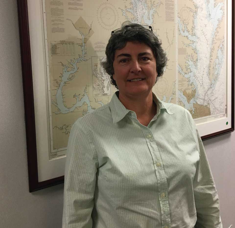
Name: Tara Wallace
Location:Silver Spring, Maryland
Education:Bachelor of Business Administration; Associate of Applied Science in Applied Geography
National Ocean Service Program Office:Office of Coast Survey
 An official website of the United States government.

Social