Donut chart showing how Yaritza Rivera-Torres, NOAA Marine Debris Hurricane Response Coordinator, spends her time.
30% Planning
30% Project Management
40% Collaboration, guidance, and work review
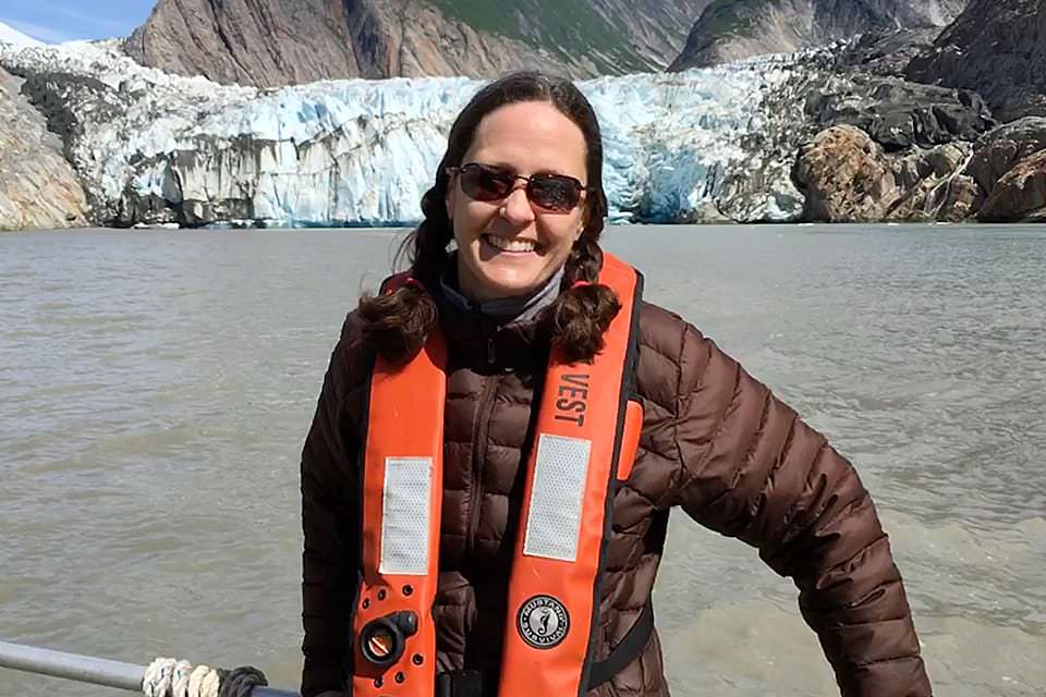
Martha plans hydrographic (seafloor mapping) projects for NOAA ships and contract partners.
Martha Herzog, a Physical Scientist in the National Ocean Service’s Office of Coast Survey, says, “I found geology very late in my college career, realizing that I really enjoyed learning about earth processes, which happily derailed my plans for law school.”
As a graduate student and beyond, she studied geology and geography including Geographic Information Systems (GIS) and remote sensing, which is the science of obtaining information about objects or areas from a distance, typically from aircraft or satellites. She then joined NOAA as a cartographer (a person who produces maps).
Her career path took another interesting turn when she discovered hydrography, which is the science of surveying and mapping the seafloor. “It encompassed all of my passions,” she says, which include “learning about and mapping the Earth, GIS and cartography, travel and exploration, and hands-on field work.”
Today, she plans hydrographic projects for NOAA ships and contract partners. The data she helps gather is used to update NOAA’s nautical chart products and is publically available for other scientific uses.
“It is always rewarding to survey areas that have never been mapped or have not been surveyed to modern standards,” she says. “Accurate and up-to-date seafloor data used to create nautical charting products aids public safety, commerce, and helps prevent human and environmental catastrophes.”
Name: Martha Herzog
Location:Silver Spring, Maryland (and occasionally on a NOAA ship)
Education:B.A., Geology, Mount Holyoke College; M.S., Geology, Purdue University
National Ocean Service Program Office:Office of Coast Survey
 An official website of the United States government.
Social