Donut chart showing how Jason Woolard, Cartographer, spends his time.
30% Uncrewed Aerial Systems
30% Emergency response
30% Data processing and management
10% Administrative tasks
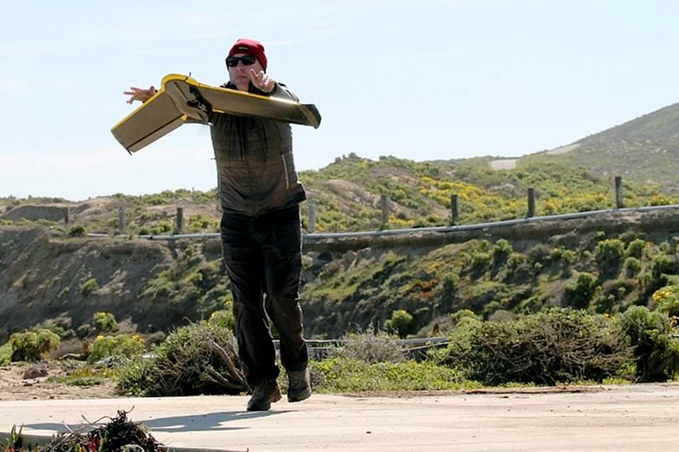
As a NOAA cartographer, Jason helps produce maps by analyzing remote sensing data to support NOAA’s Emergency Response aerial imagery program.
While studying geography as an undergraduate, Jason was drawn to remote sensing, which is the science that uses aircraft and satellite technology to collect data about distant objects or areas. “I enjoyed working with satellite and airborne remote sensing data,” he says, and “writing code to solve problems and working with a great team of people.”
It’s no wonder that he ended up as a cartographer in NOAA’s Remote Sensing Division, where he helps produce maps by processing remote sensing data, evaluating uncrewed aerial system programs, and supporting NOAA’s emergency response imagery program.
Jason says that the most rewarding part of his job is providing maps and imagery products to the public following a hurricane, flood, or earthquake.
“One example that comes to mind,” he says, “is from Hurricane Michael in 2018, where a family was stranded and spelled out ‘HELP’ with downed trees. A relative spotted the message while looking at NOAA imagery and was able to call for help.”
What advice would he give to those who want to pursue a career path that’s similar to his? He says to “stay focused on learning about new developments in your field. Technology evolves quickly, especially if your work deals with sensors, hardware, and software. Staying abreast of these new advancements will always be helpful throughout your career.”
Name: Jason Woolard
Location:Silver Spring, Maryland; Woodford, Virginia
Education:B.S. Geography, Old Dominion University; M.A. Geography, East Carolina University
National Ocean Service Program Office:National Geodetic Survey
 An official website of the United States government.
Social