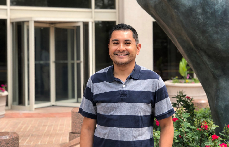
A cartographer measures, analyzes, and interprets geographical information to create maps and charts.
In college, Brian started out studying biology. He didn’t discover his love for geography until he took a course in it as an elective. While working on his degree, he interned at a few different places, but he didn’t find a good fit. After Brian graduated, he found his way to the Office of Coast Survey where he compiled hydrographic data from various sources to update NOAA’s nautical charts. He thought the work was interesting and fun: like when he worked on updating charts in Jacksonville, Florida, so large cruise ships could enter the port for Superbowl XXXIX.
In addition to being fun, the work is also rewarding. A lot of people don’t realize how cartographers have an impact on everyday life, Brian says. Now, as a lead cartographer at NOAA, he mainly reviews the work of other cartographers who are updating charts and creating new ones. Helping people out makes his day, he says.
Social