Two new Physical Oceanographic Real-Time Systems, also known as PORTS®, are improving maritime safety near Kings Bay, Georgia, and Portsmouth, New Hampshire, near two U.S. Navy installations. NOAA and the U.S. Navy partnered to install the first new PORTS in two years, the 34th and 35th in the nationwide network.
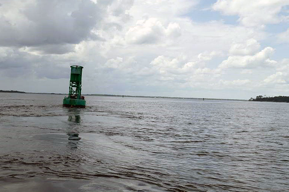
The system near Naval Submarine Base Kings Bay, the East Coast home to America’s Ohio-class submarines, is an integrated series of sensors which will provide critical real-time information on oceanographic and meteorological conditions. This will greatly increase the navigation safety of vessels entering and exiting the channels of the St. Marys River and the Cumberland Sound.
The second site is near the Portsmouth Naval Shipyard, whose primary mission is the overhaul, repair and modernization of the Navy’s nuclear-powered attack submarine fleet. A new tide station on Seavey Island along the Piscataqua River will help protect shipyard personnel, critical facilities, and U.S. Navy submarines. Other local mariners and agencies will also have access to the real-time water level information, helping them better plan vessel transits and prevent mishaps.
PORTS is a partnership program with local port authorities, pilot associations, the U.S. Coast Guard, the U.S. Army Corps of Engineers, the U.S. Navy, academia, and other stakeholders across the nation. In addition to other noted benefits, these systems also improve hazardous spill response and enhance recreational activities.
The first PORTS was established in 1991 in Tampa Bay following a deadly collision that occurred in 1981; an inbound freighter collided with the Sunshine Skyway Bridge, causing a bridge collapse that killed 35 people. The accident underscored the need for integrated real-time information to provide comprehensive situational awareness to mariners making safety and operational decisions.
 An official website of the United States government.


Social