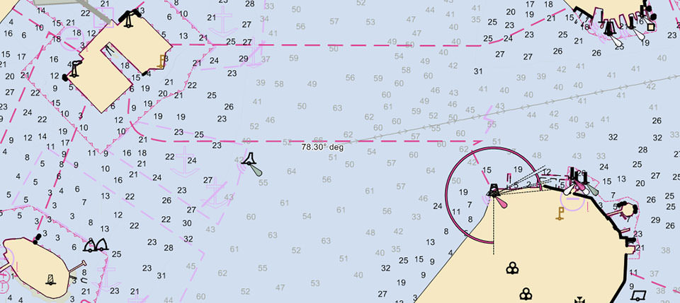
What do the numbers mean on a nautical chart?
Numbers on a nautical chart are depth measurements.

Soundings, or water depth measurements, are represented by numbers on nautical charts.
Water depths are measured by soundings usually acquired by hydrographic surveys. The depths may be in either feet or fathoms (the chart will indicate which). A fathom is a nautical unit of measurement and is equal to six feet.
On a chart, water depths may be connected with a line known as a depth contour, similar to the topographic lines or surface features that you see on a map. Depth contours present a picture of the bottom to the mariner.
In addition to showing water depths, a nautical chart also tells mariners about dangers to navigation, aids to navigation, anchorages, and other features. U.S. Chart No. 1 explains all the numbers and symbols found on both paper and electronic nautical charts.
Search Our Facts
Get Social
More Information
Last updated: 06/16/24
Author: NOAA
How to cite this article