U.S. flag An official website of the United States government.

dot gov icon Official websites use .gov

A .gov website belongs to an official government organization in the United States.

https icon Secure websites use HTTPS

A small lock or https:// means you’ve safely connected to a .gov website. Share sensitive information only on official, secure websites.

What does the National OCEAN Service have to do with the nation's airports and airspace?

The National Geodetic Survey's Aeronautical Survey Program, part of the National Ocean Service, provides highly accurate position, height, and orientation data needed for safe air navigation.

aerial shot of Aspen, Colorado, airport

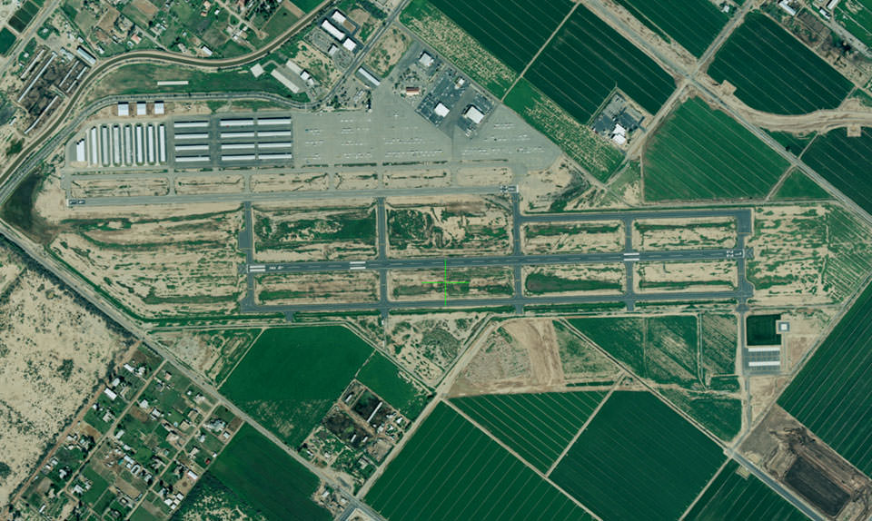
This is an airport in Chandler, Arizona, shot from a mounted camera on a NOAA aircraft.

You may be surprised to learn that the National Ocean Service is responsible for surveying and reviewing aeronautical data in support of the nation's airports and airspace.

NOAA has played a role in our nation's aviation industry since the early 1900s. Today, the National Geodetic Survey (part of NOS) administers the Aeronautical Survey Program. This program provides highly accurate position, height, and orientation information needed for safe air navigation.

NGS has been performing aeronautical surveys since the 1920s. More recently, NGS' responsibilities have expanded to reviewing surveys by commercial surveyors to ensure the aeronautical data meets Federal Aviation Administration (FAA) standards and specifications. These surveys provide critical information about airport features and about obstructions and aids to navigation. FAA uses this information to establish airport approach and departure procedures, determine maximum takeoff weights, update aeronautical publications, and conduct airport planning and construction studies.