#ScienceAtSea
Gallery: Views from the Seafloor
Here are some choice photos captured by a remotely operated vehicle during NOS's 2015 Caribbean seafloor mapping mission onboard the NOAA ship Nancy Foster.
Photos:
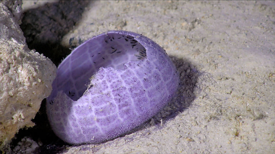
A cluster of what appear to be tiny amphipods scavenge in the remnants of a sea urchin’s skeleton at the base of a reef in the U.S. Virgin Islands.
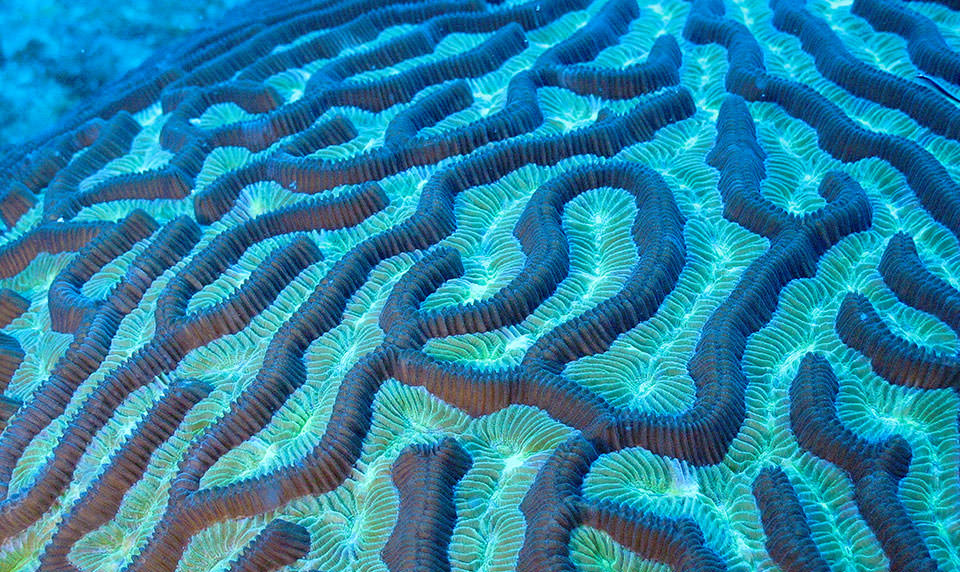
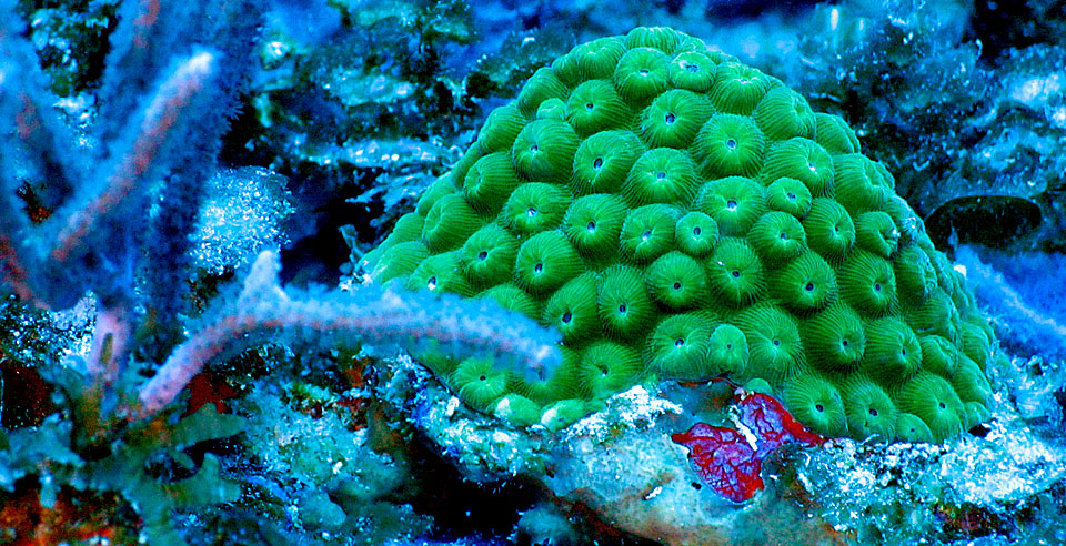
A close-up of brain coral captured by remotely operated vehicle. Scientists use the ROV to confirm the type of seafloor cover—from sandy bottom to hard coral—previously identified using sonar and geographic information system tools.
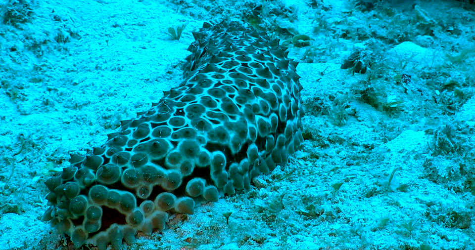
A sea cucumber on a sandy bottom off the south coast of St. Croix in the U.S. Virgin Islands. NOAA scientists have been exploring and mapping the seafloor in this region for the past twelve years.
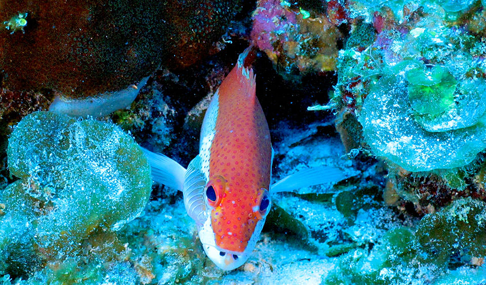
A coney, in its bicolor phase, investigates the camera as the remotely operated vehicle makes a pass over its reef. Exploration with the ROV on these Caribbean reefs helps locate fish and build an understanding of the habitat preferences of different species.
A small mound of coral nestled amongst coralline algae and sponges on a reef in the U.S. Virgin Islands. Seafloor mapping with sonar combined with imagery from the ROV reveal both the extent and health of these reefs, which serve as prime habitat for economically important fish.