#ScienceAtSea
Gallery: NOAA Ship Nancy Foster
April, 2015, marked the 12th consecutive year of an effort to map the Caribbean seafloor onboard the NOAA ship Nancy Foster. With nearly 1,324 square miles mapped since 2004, scientists from the National Ocean Service and their partners continue exploring the waters surrounding Puerto Rico and the U.S. Virgin Islands, identifying and mapping critical coral reef and fisheries habitat with sonar and video observations. Here are a few shots of the crew of the Nancy Foster, who make this mission possible.
Photos:

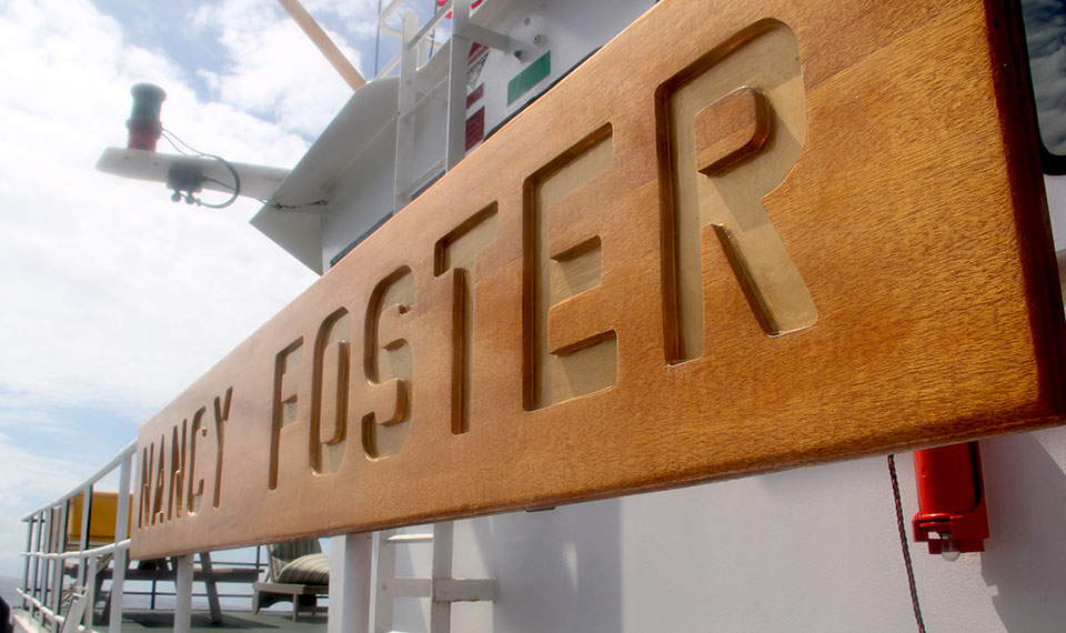
The Nancy Foster, one of the most operationally diverse ships in the NOAA fleet, was originally built as a U.S. Navy yard torpedo test craft in 1989. In 2001, the Navy transferred the vessel to NOAA, which outfitted the ship to conduct research along the U.S. Atlantic and Gulf coasts, and the Caribbean Sea. The Nancy Foster has been the primary platform for the Caribbean Coral Reef Ecosystem Mapping missions since 2004.

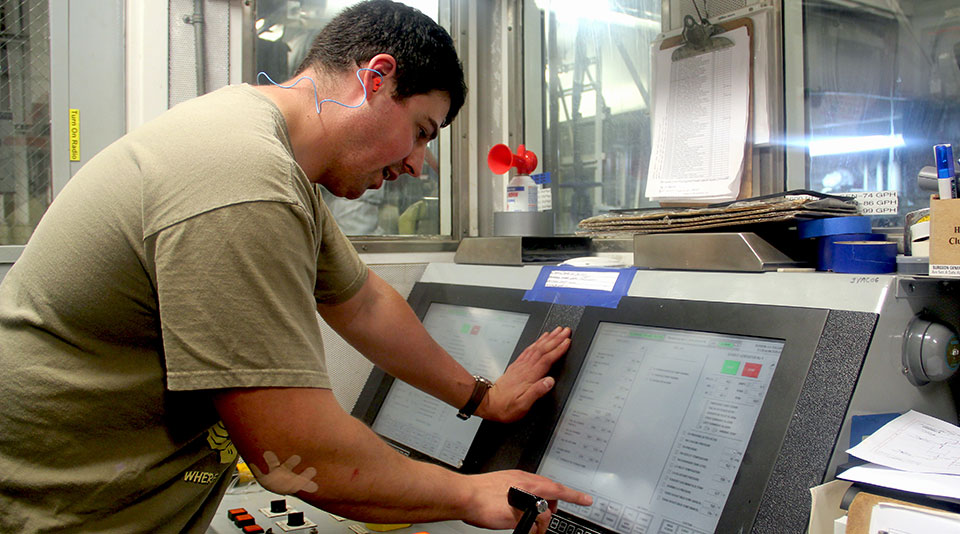
Matt Lagor, 1st Assistant Engineer, works his shift in the engine rooms below decks. Three generators stand by as back-up to the main engine that powers the Nancy Foster. Using the touchscreen in this control room, Matt also checks on the status of an onboard reverse osmosis machine that creates freshwater from the ocean as well as the ship's sewage treatment operations.

Lito Llena, Chief Steward, and Second Cook Bob Burroughs stay upbeat with smiles and some classic rock, preparing three meals a day for the 38 crew and scientists on board. The major limit to the amount of time theNancy Foster can spend at sea is based on how much food is stocked.

Operations Officer Lyndsey Davis, along with Junior Officers Chris Pickens and Felicia Drummond, monitor the ship's speed and navigation from the Nancy Foster's bridge. Here, the officers radio down to the ship scientists to coordinate the launch of the remotely operated vehicle for another dive.