New NOAA Report Looks at National Coastal Flood Vulnerability

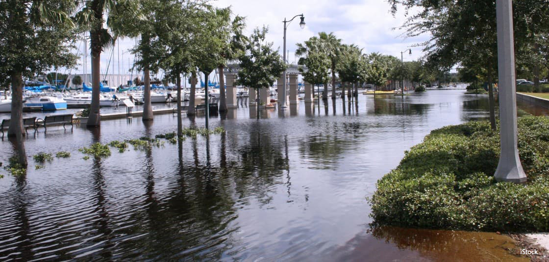
Flooded coastal infrastructure, such as this sidewalk in Florida, is becoming increasingly common as sea levels rise. Credit: iStock image.
NOAA scientists have demonstrated a new method to assess flood vulnerability in the United States on a national to regional level.
A report, spearheaded by sea level experts from NOAA’s Center for Operational Oceanographic Products and Services, looked at existing flood thresholds established by the National Weather Service and found patterns in the thresholds based upon tide range. They were then able to apply that pattern nationwide and find a statistical and consistent way to measure and monitor minor high tide flooding, as well as moderate and major flooding in locations where no threshold exists.
The report finds that, on average, U.S. coastal infrastructure is vulnerable to minor, moderate, and major flooding at heights of about 0.5, 0.8, and 1.2 meters above the average daily highest tide (Mean Higher High Water). Trends in annual high tide flood frequencies are increasing or accelerating at two-thirds of the roughly 100 locations examined.
This science gives communities more information about their risk as they prepare for coastal flooding. With continued increases in regional sea level rise projected to occur, high tide flooding will become chronic in the next several decades.