Archive: World Hydrography Day Reddit "Ask Us Anything"
In June 2018, NOAA experts discussed how (and why) we map the U.S. seafloor.

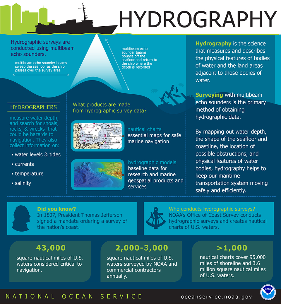
By mapping out water depth, the shape of the seafloor and coastline, the location of possible obstructions, and physical features of water bodies, hydrography helps keep our maritime transportation system moving safely and efficiently. Download this infographic | Infographic Text
Reddit "Ask Us Anything" Details (Archive)
Who: Rear Admiral Shepard Smith, the U.S. National Hydrographer and director of NOAA’s Office of Coast Survey, and Lt. Cmdr. Sam Greenaway, chief of Coast Survey’s Hydrographic Systems and Technology Branch.
What: Reddit "Ask Us Anything." NOAA hydrographers talk about how we map the U.S. seafloor.
When: 21 June, 2018, at 1:00 p.m. EDT
Where: View the archive of the Reddit "Ask Us Anything!"
Meet the NOAA Experts

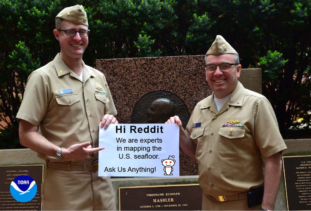
Rear Admiral Shepard Smith (right), the U.S. National Hydrographer and director of NOAA’s Office of Coast Survey, and Lt. Cmdr. Sam Greenaway, chief of Coast Survey’s Hydrographic Systems and Technology Branch.
Shep Smith
Rear Admiral Shepard M. Smith became Coast Survey director on August 26, 2016. He is the 30th leader of the agency since the first superintendent, Ferdinand R. Hassler, was appointed in 1816. As director, Smith is dedicated to advancing the Coast Survey initiatives of modernizing digital charting, increasing use of autonomous systems for hydrography, and improved integrated navigation services for seaports. Smith holds a bachelor of science degree in mechanical engineering in 1993 from Cornell University and earned a master of science degree in ocean engineering from the University of New Hampshire in 2003. He received a direct commission to the rank of ensign in the NOAA Corps in 1993.
Sam Greenaway
Lieutenant Commander Sam Greenaway is currently the Chief of the Hydrographic Systems and Technology Branch at NOAA’s Office of Coast Survey. In this position, Sam leads efforts to make ocean mapping better, faster, and cheaper through application of advanced technology, development and application of in-house and commercial software, and technical support to NOAA’s hydrographic survey fleet. He attended Brown University, graduating with a bachelor of science in physics in 1998. He earned a master of science in ocean engineering from the University of New Hampshire in 2010. He was commissioned in the NOAA Corps as an ensign in 2004.