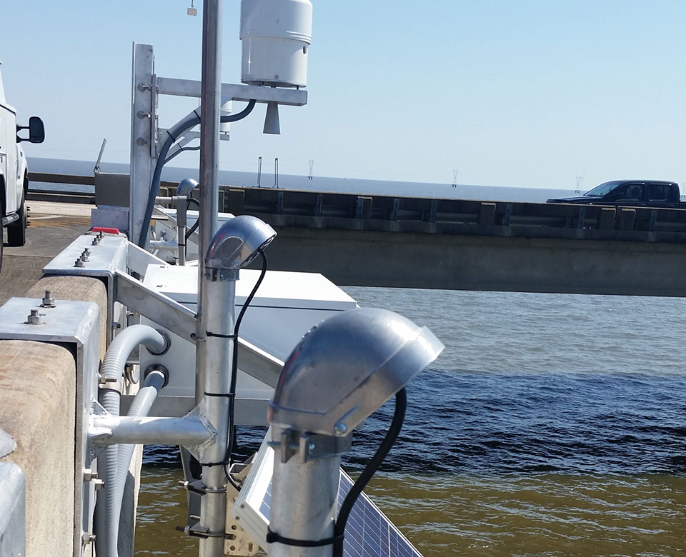
New Lake Pontchartrain Tide Station
Real-time water level data aids emergency managers in the Gulf of Mexico.

In 2015, NOAA installed a new tide station at Lake Pontchartrain, Louisiana, that is built to withstand winds of up to 110 miles per hour. The station provides real-time data for accurate lake modeling, storm surge predictions, and emergency planning and evacuation orders. The station is part of an expanded network of tide stations that have been installed in the region since the 2005 hurricane season.
In 2015, NOAA filled a gap in Lake Pontchartrain water level observations that will help New Orleans be more resilient in the face of severe storms. The station uses new microwave water level measurement technology and a meteorological station to help local, state, and federal emergency managers plan for and respond to flooding.
Hurricane Katrina's extreme storm surge damaged or destroyed a number of tide stations on the Gulf coast. In response, NOAA rebuilt and expanded its network of tide stations in the region and installed several new Sentinels in the Gulf of Mexico — 25-foot-tall stations that disseminate real-time water level and weather observations and are hardened to withstand the most extreme storm surges so that data is available when most needed.