U.S. flag An official website of the United States government.

dot gov icon Official websites use .gov

A .gov website belongs to an official government organization in the United States.

https icon Secure websites use HTTPS

A small lock or https:// means you’ve safely connected to a .gov website. Share sensitive information only on official, secure websites.
Remote Sensing

Capturing Information on the Earth from Airplanes and Satellites

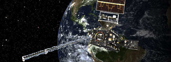
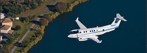
Remote sensing is the science of obtaining information about objects or areas from a distance, typically from aircraft or spacecraft. NOAA scientists collect and use remotely sensed data for a range of activities, from mapping coastlines, to supporting military and disaster response personnel, to monitoring hurricane activity.

Denham Springs, Louisiana in August 2016
Disaster Response

Just hours after a hurricane hits a coastal area, the National Geodetic Survey begins flying photo survey missions to assess storm damage. The digital photos often are made available online within 12 hours after the survey mission. The data contained in these photos provide emergency and coastal managers with information needed to develop recovery strategies, facilitate search and rescue efforts, identify hazards to navigation and HAZMAT spills, and provide documentation for damage assessment through the comparison of before and after imagery.

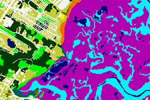
image showing Coastal Change Analysis Program land cover classes from August 2013
Coastal Change Analysis Program Regional Land Cover and Change

These nationally standardized, raster-based inventories cover coastal intertidal areas, wetlands, and adjacent uplands for the coastal U.S. Data are derived from the analysis of multiple dates of remotely sensed Landsat imagery. These data products are updated every five years and are produced through documented, repeatable procedures using standardized data and methods to ensure consistency through time and across geographies.

coastal map
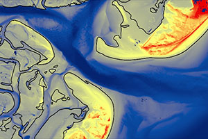
Elevation Mapping

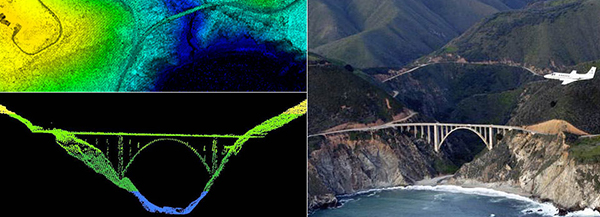
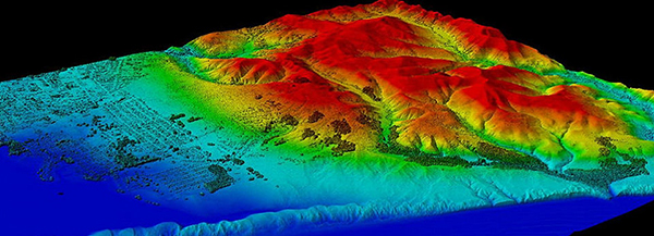
Knowing the elevation of a coastal area is important for conservation, development, planning, and safety. Both the NOAA National Geodetic Survey and the NOAA Office for Coastal Management collect high-resolution coastal elevation data using LIDAR and Interferometric Synthetic Aperture Radar (IfSAR or InSAR) technologies. Coastal elevation maps provide important information for coastal communities because in these areas, a change in elevation of one foot can make huge differences in habitats and human safety.

NOAA nautical chart
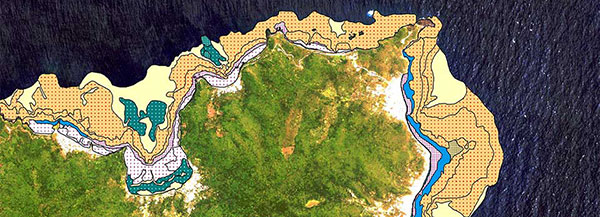
Nautical Charts

Shoreline and coastal features depicted in aerial photographs and LIDAR images are the largest sources of material used to create coastal survey maps. These data sets, in turn, provide information for updating NOAA nautical charts. Combining information from aerial photographs and LIDAR images with hydrographic data obtained by survey ships helps ensure nautical charts accuracy. Nautical charts, which mariners are required to use to plan their routes for intended voyages, are regularly updated as photographs document America's changing shorelines.