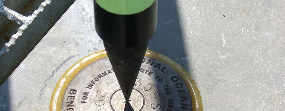
A Global Positioning System is set up on a benchmark in Shell Beach, Louisiana. Survey marks, the earliest components of the National Spatial Reference System, lay the foundation for precise measurements.
Global positioning is fundamental to navigation, communication systems, mapping and charting, and much more. The National Geodetic Survey is responsible for the development and maintenance of the National Spatial Reference System, a national coordinate system that allows surveyors and others to accurately position points of interest and ensure that their coordinates match up with those determined by others.
The National Ocean Service and positioning
At NOS, we've been building a consistent and accurate group of interconnected survey points – or a reference system – for mapping and charting for over 200 years. As this system has grown and evolved, so too has the organization responsible for its management. Enter today's National Geodetic Survey, an office within the National Ocean Service.
The National Spatial Reference System
If you want to determine where you are, you need a known starting, or reference, point. Take a bunch of these points, and you have a spatial reference system. In the United States, the National Spatial Reference System (NSRS) includes more than 1,500,000 survey points, a network of continuously operating reference stations, and geophysical models. The NSRS is defined and managed by the National Geodetic Survey to ensure that all U.S. positioning information, including every map made by any government agency, fits together.
Survey marks
The earliest component of the National Spatial Reference System is a network of precisely located, in-the-ground survey marks that provided the framework to conduct surveys in the United States. In recent decades, reference points using Global Positioning System (GPS) technology have augmented and begun superseding the historical marks. So while GPS may have revolutionized the science of positioning, the National Geodetic Survey was laying the foundation for precise measurements before the space age.
The Global Positioning System
Want to know where you are on the Earth's surface with centimeter-level accuracy? Tap into the Global Positioning System (GPS). This constellation of satellites, operated by the Department of Defense, transmits radio signals for positioning. The most common way to obtain precise measurements from GPS requires at least two receivers: one receiver whose exact location is known and one at the site in question. The receiver with known coordinates is a reference point for pinpointing the unknown location.
Continuously Operating Reference Stations
The National Spatial Reference System includes a network of more than 1,800 Continuously Operating Reference Stations (CORS). Managed by the National Geodetic Survey in collaboration with over 200 partnering organizations, each CORS is a stationary, permanent Global Positioning System (GPS) receiver. With positional data from the CORS serving as a reference, users need only deploy one GPS receiver to position points with accuracies to within a fraction of an inch in all three dimensions.
Applications of positioning data
While knowing where we are on the Earth's surface is certainly a personal bonus, it is essential to building roads and bridges; ensuring safe and efficient transportation; or laying out infrastructure such as utility, energy, or communication systems. From hand-held devices that help you find your way home to planning roads to improve traffic flow, assessing the integrity of buildings, making sure that airplanes land safely on the runway, or measuring a millimeter per year rise in sea level, the applications of positioning data are pretty much limitless.
 An official website of the United States government.
Here's how you know we're official.
An official website of the United States government.
Here's how you know we're official.