How is ocean observing data used?
Ocean observing data helps the nation track, predict, manage, and adapt to changes in the marine environment.

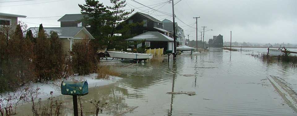
Coastal communities use ocean observing data to prepare for floods and other natural disasters.
NOAA orchestrates the collection of ocean data through a federal, regional, and private-sector partnership called the U.S. Integrated Ocean Observing System, or IOOS®. This system helps the nation track, predict, manage, and adapt to changes in our marine environment.
IOOS data are increasing our understanding of how oceans drive storms to allow meteorologists to develop earlier, more accurate weather predictions. Store managers use these forecasts to decide whether to stock hurricane supplies or beach towels in their stores. Fishermen typically use weather and water data to make informed decisions about when it is safe to head to sea.
Through state-of-the-art high frequency radar systems and other technologies, IOOS scientists can also track ocean currents in near real time. By improving our ability to monitor the speed and direction of surface currents, search and rescue crews can track the probable path of people lost at sea and expedite recovery time.
Surface current maps also support other scientific work including oil spill response, harmful algal bloom monitoring, and water quality assessments. Responders use IOOS data to track oil slicks after a spill because the real-time data shows the movement of the water and therefore the movement of the spill. Data on ocean currents helps forecasters predict both the movement and size of harmful algal blooms, so they can act to decrease health risks to people who might have been affected otherwise.
Search Our Facts
Get Social
More Information
Last updated: 06/16/24
Author: NOAA
How to cite this article