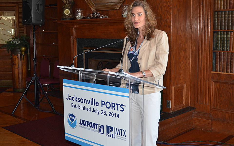
Today, I join NOAA Administrator Dr. Kathryn Sullivan, Center for Operational Oceanographic Products and Services Director Rich Edwing, leaders from the Jacksonville Marine Transportation Exchange, and other local and state officials in Florida at the dedication of the newest Physical Oceanographic Real-Time System, or PORTS®. The new Jacksonville PORTS®, second largest ever established in the system, includes a broad suite of operational sensors with water level, meteorological, visibility, salinity, air gap (under bridge clearance), and tidal currents.
The Jacksonville PORTS® is an excellent example of coastal intelligence. The goal is to provide mariners with improved maritime domain awareness given the dynamic conditions and changes in water levels and currents of the St. Johns River. Jacksonville PORTS® will provide mariners with better information about currents and water levels so they can navigate more efficiently and safely. In 2013, the Port of Jacksonville handled a total of 8.2 million tons of cargo and more than 630,000 vehicles. It now ranks as the top vehicle export port in the United States.
This project was administered by NOS’s partner, Jacksonville Marine Transportation Exchange, with station installation, operation, and maintenance services provided by Woods Hole Group, Inc. NOS’s Center for Operational Oceanographic Products and Services provided technical guidance during the project and will provide ongoing quality control and dissemination of the data.
Holly A. Bamford, Ph.D.
Assistant Administrator for Ocean Services and Coastal
Zone Management, National Ocean Service