U.S. flag An official website of the United States government.

dot gov icon Official websites use .gov

A .gov website belongs to an official government organization in the United States.

https icon Secure websites use HTTPS

A small lock or https:// means you’ve safely connected to a .gov website. Share sensitive information only on official, secure websites.

Marine Navigation

Moving safely along our marine highways

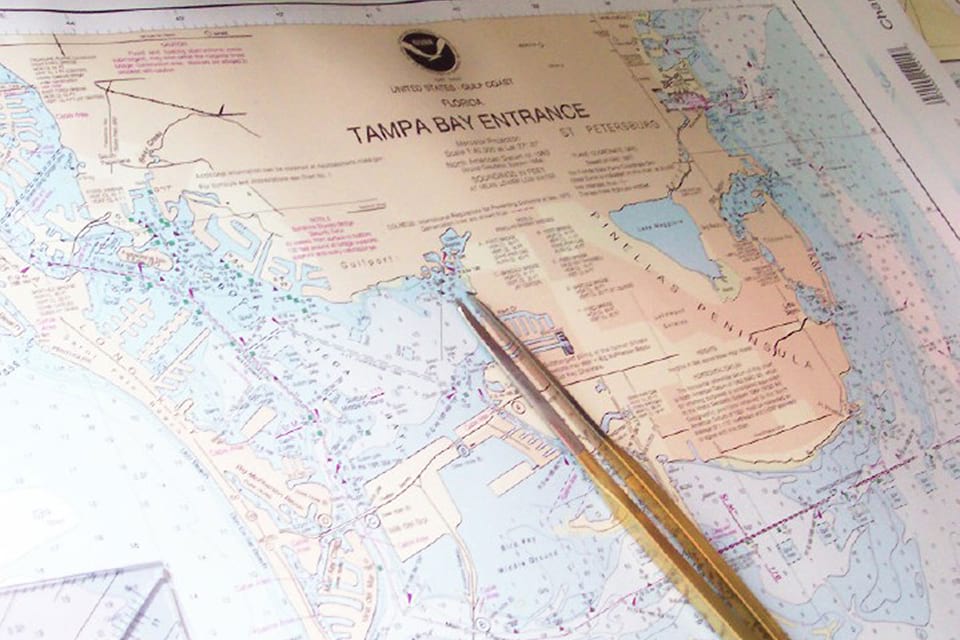
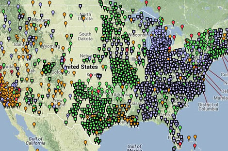
Our marine transportation system includes 500,000 square nautical miles of navigationally significant waters. Over 1.34 billion metric tons of cargo, valued at $1.73 trillion, shipped in and out of U.S. ports in foreign trade in 2011. Those ports support, directly and indirectly, more than 13 million American jobs. The connections between the system, coastal communities, and maritime industries is intuitive. Less recognized are the links between communities in our nation's heartland and the marine transportation system. NOAA tools — such as nautical charts, accurate positioning services, and ocean and weather observations — play a key role in ensuring that shipments move swiftly and safely along our marine highways.

Resources and Education

Recreational boaters
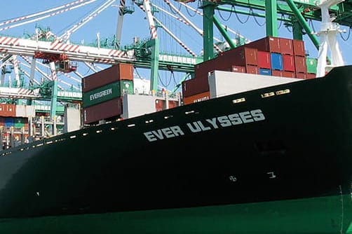
Ship in port
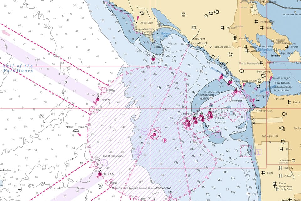
NOAA nautical chart Catalog and Chart Viewer
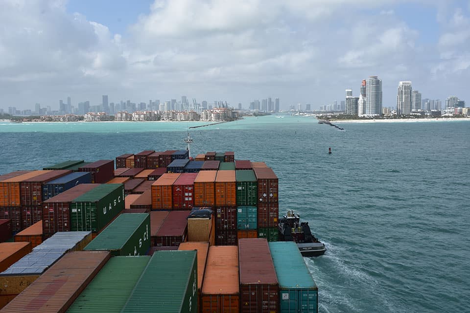
Shipping containers
National Spatial Reference System
diver among marine debris
a diver in a national marine sanctuary
photo of volunteers with binoculars
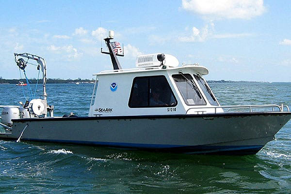
NOAA Navigation Response Team

Dive Deeper

NOAA Custom Chart Tool
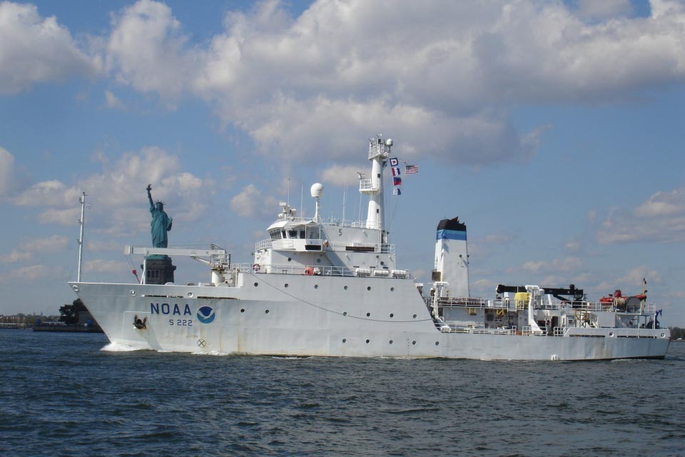
NOAA ship and Statue of Liberty
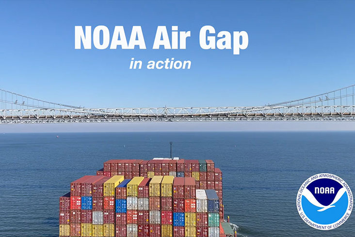
Container ship transiting under the Chesapeake Bay Bridge
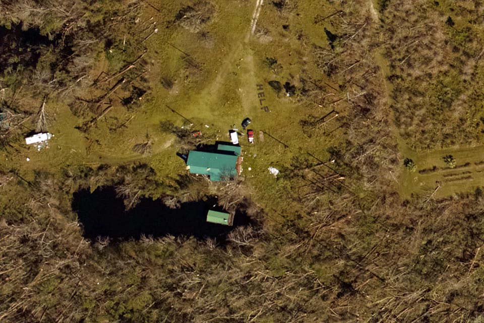
Aerial imagery