Why do we study tides?
We study tides for safe navigation, recreation, and coastal development.

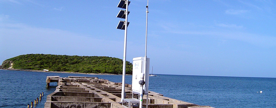
Tide stations are constructed to measure tides and analyze data so that scientists can predict tides and publish tide tables.
Scientists measure the times, heights, and extents of both the rise and fall of the tidal waters that support a number of different aspects of our daily lives. Navigating ships safely through shallow water ports, intracoastal waterways, and estuaries requires knowledge of the time and height of the tides as well as the speed and direction of the tidal currents. Mariners need accurate data because the depths and widths of the channels along with increased marine traffic leaves very little room for error.
Engineers need data to monitor fluctuating tide levels for harbor engineering projects such as the construction of bridges and docks. Projects involving the construction, demolition, or movement of large structures must be scheduled far in advance if an area experiences wide fluctuations in water levels during its tidal cycle. Habitat restoration projects also require accurate knowledge of tide and current conditions.
Tidal data is also critical to fishing, recreational boating, and surfing. Commercial and recreational fishermen use their knowledge of the tides and tidal currents to help them improve their catches. Depending on the species and water depth in a particular area, fish may concentrate during ebb or flood tidal currents.
Search Our Facts
Get Social
More Information
Last updated: 06/16/24
Author: NOAA
How to cite this article