What is PORTS®?
PORTS® stands for Physical Oceanographic Real Time System.

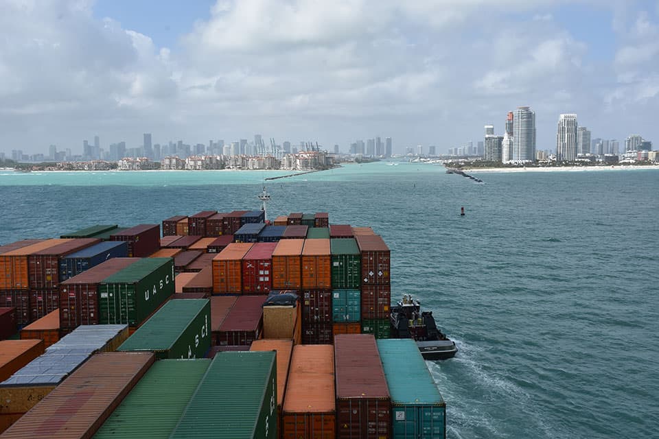
A container ship enters the shipping channel at PortMiami, where vessel pilots now have access to real-time current information to help guide them safely into port. This NOAA system, called PORTS® (short for Physical Oceanographic Real-Time System), is deployed in many busy waterways throughout the U.S. to provide key environmental parameters — including water levels, currents, waves, salinity, bridge clearance (air gap), winds, air and water temperature, and visibility. Sensors are tailored to meet specific needs at each seaport.
Did you know?
The first PORTS® was established in Tampa, Florida, in 1991. Today, there are PORTS® operating across the nation.
NOAA PORTS® is an information system that measures and disseminates the oceanographic and meteorological data that mariners need to navigate safely.
Marine navigation safety is a serious issue of national concern. By volume, more than 95 percent of U.S. international trade moves through the nation's ports and harbors, with about 50 percent of those goods being hazardous materials. The potential risks to maritime commerce and the coastal environment are apparent.
PORTS® mitigates those risks by integrating real-time environmental data (water levels, tides, currents, waves, salinity, bridge air gap) and meteorological parameters (winds, atmospheric pressure, air and water temperatures) with forecasts and other geospatial information, and tailoring the output to the needs of local communities.
Through PORTS®, NOAA is responding to one of the nation's most significant challenges – to improve the economic efficiency and competitiveness of U.S. maritime commerce while reducing risks to life, property, and the coastal environment.
Social