Datums are the basis for all geodetic survey work.
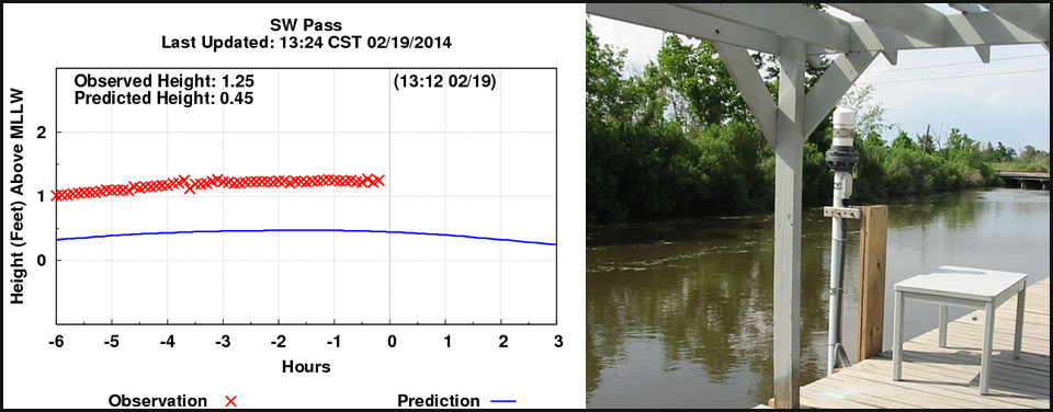
Near coastal areas, mean sea level (and other tidal datums) is determined by analyzing observations from a tide gauge. This image shows a tide gauge at the St. Charles Parish Water Level Monitoring System in Louisiana.
NOAA and partners are now working on three major datum updates:
Scientists with the Center for Operational Oceanographic Products and Services are updating the National Tidal Datum Epoch — the framework used to measure water levels along U.S. coasts. This update will help improve navigation safety, storm surge prediction, sea-level monitoring, and ecosystem research.
U.S. and Canadian partners are undertaking a multi-year initiative to update the International Great Lakes Datum. This update will deliver more accurate water level measurements throughout the Great Lakes.
Scientists at the National Geodetic Survey are working on a long-term project to make accurate height measurement better, faster, and cheaper. This project is called the Gravity for the Redefinition of the American Vertical Datum, or GRAV-D for short. When it is completed, users will be able to get accurate heights to within about an inch for most locations around the nation.
A geodetic datum is an abstract coordinate system with a reference surface (such as sea level) that serves to provide known locations to begin surveys and create maps. In this way, datums act similar to starting points when you give someone directions. For instance, when you want to tell someone how to get to your house, you give them a starting point that they know, like a crossroads or a building address.
Geodesists and surveyors use datums to create starting or reference points for floodplain maps, property boundaries, construction surveys, levee design, or other work requiring accurate coordinates that are consistent with one another.
There are two main datums in the United States. Horizontal datums measure positions (latitude and longitude) on the surface of the Earth, while vertical datums are used to measure land elevations and water depths.
The horizontal datum can be accessed and used through a collection of specific points on the Earth whose latitude and longitude have been accurately determined by NOAA's National Geodetic Survey. One application of the horizontal datum is monitoring the movement of the Earth's crust. This type of monitoring is often used in places like the San Andreas Fault in California where many earthquakes occur.
The vertical datum is similarly "realized" through a collection of specific points on the Earth with known heights either above or below a nationally defined reference surface (e.g., mean sea level). Geodetic vertical datums are generally used to express land elevations. However, water level datums are a slightly different vertical datum, and are used as a reference level to which bathymetric soundings are referenced for nautical charts. Conversion between these two can be done through geodetic surveys at tide gauges.
 An official website of the United States government.

Social