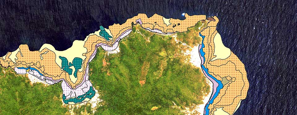
What is a benthic habitat map?
Benthic habitat maps help protect fragile underwater areas.

Benthic habitat map for Pacific Island Territories
The term benthic refers to anything associated with or occurring on the bottom of a body of water. The animals and plants that live on or in the bottom are known as the benthos.
In ocean waters, nearshore and estuary areas are most frequently mapped. This is partly because the areas are shallow enough to map, but also because these areas are very important to preserve and manage.
Benthic habitat maps are derived from aerial imagery, underwater photos, acoustic surveys, and data gathered from sediment samples. The resulting digital map is viewed using geographic information system tools.
Policy makers, scientists, and researchers use benthic maps to make informed decisions that help protect the nation’s fragile shallow-water coastal areas.