

“I see this project as a unique opportunity to strategically drive future collaborations among Sea Grant programs and key partners for water resources-related efforts.”
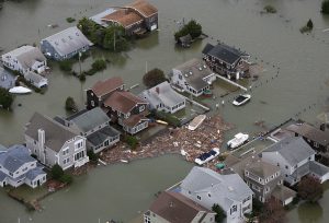
Karen Bareford, Ph.D.Sea Grant Water Resources Lead, Mississippi-Alabama Sea Grant Consortium - Karen leads a two-year project to develop a roadmap for Sea Grant water resources initiatives and improve communication and coordination on water resources efforts within the network and among key partners. Karen assesses priorities for Sea Grant's work, determining needs and potential partnerships, as it relates to addressing flooding, drought, water quality and other water-related issues. This work will assist in planning for and protecting citizens, water resources, property, and the long-term sustainability of public health, the economy, and daily lives. 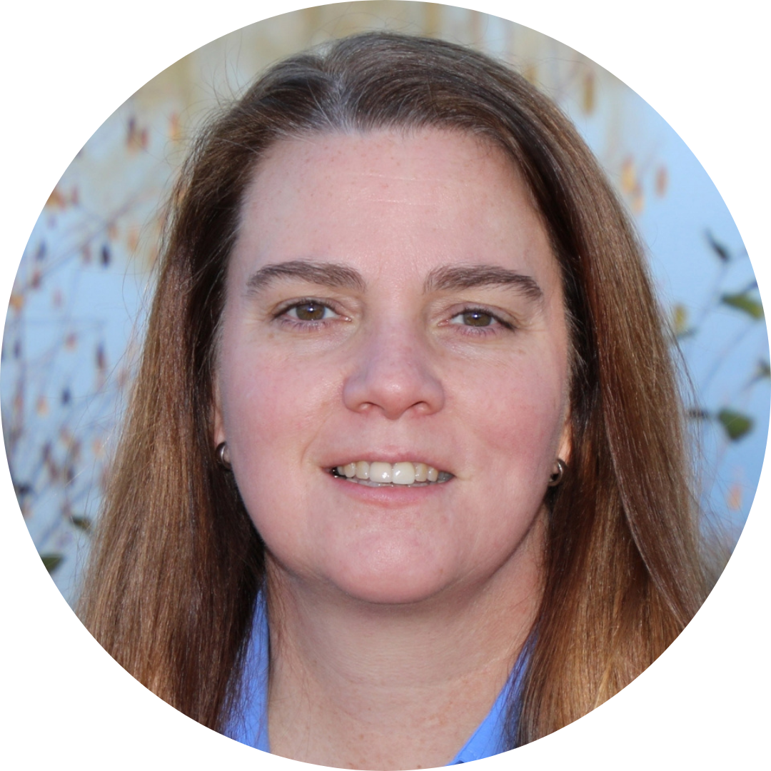
"I provide data and decision support tools for communities to make informed decisions about mitigating impacts from changes that are occurring rapidly in Alaska and plan communities that are resilient for future generations."
Davin Holen, Ph.D.Program Leader, Coastal Community Resilience Specialist, Alaska Sea Grant -Davin provides expertise, research, and extension services that enhance the culture and well-being of coastal communities across Alaska. Davin works collaboratively with the Alaska Center for Climate Assessment and Policy (NOAA/RISA program) at UAF’s International Arctic Research Center, and as a Sea Grant liaison is supported by and draws on resources from NOAA and the National Sea Grant program. 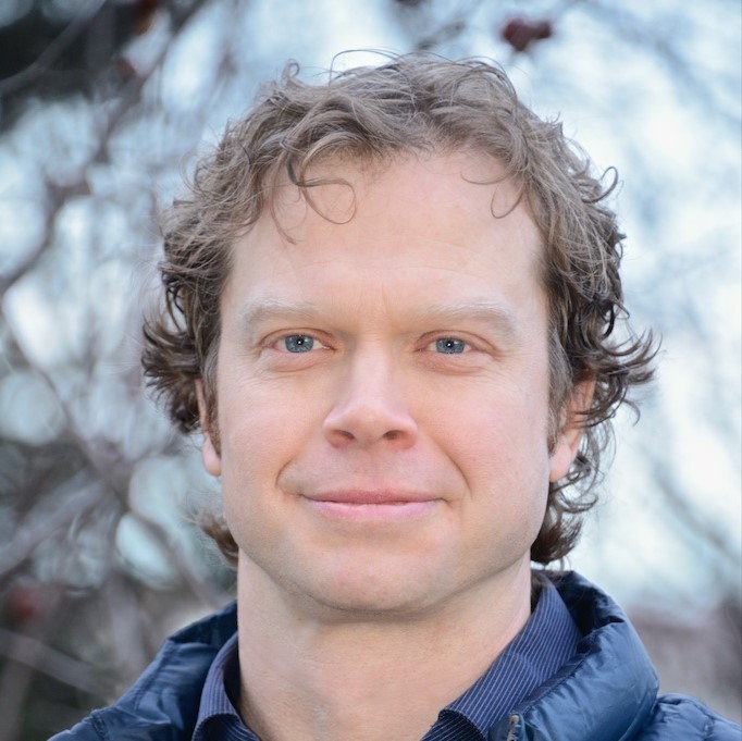
"The most rewarding thing for me so far has been meeting with people face-to-face, hearing their challenges, and helping connect them to Sea Grant or partner organization resources."
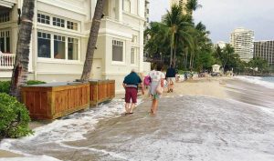
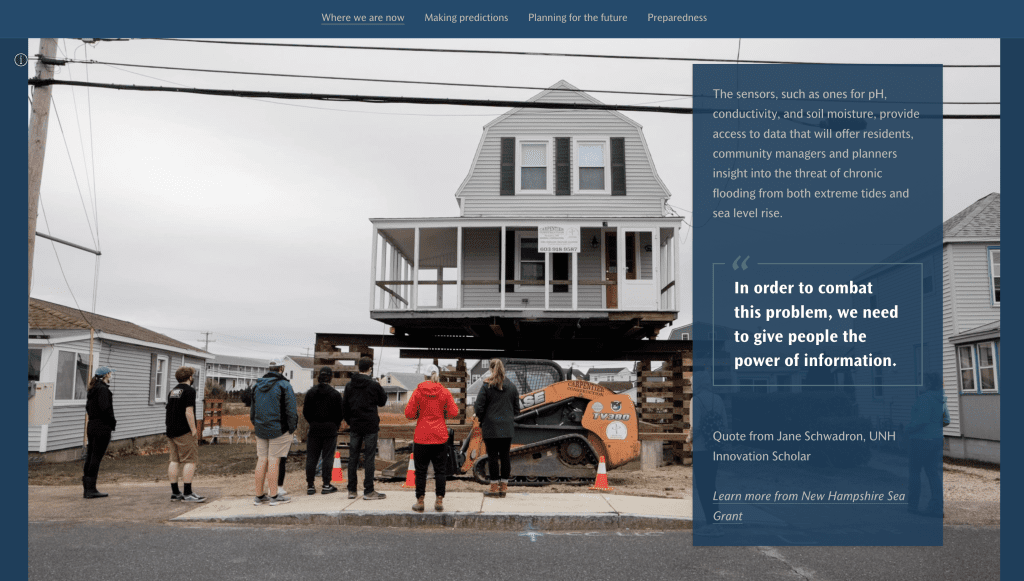
Lisa WiseClimate Adaptation Program Coordinator, New Hampshire Sea Grant - Lisa develops programs for coastal communities in New Hampshire focused on ways to adapt to a changing climate. 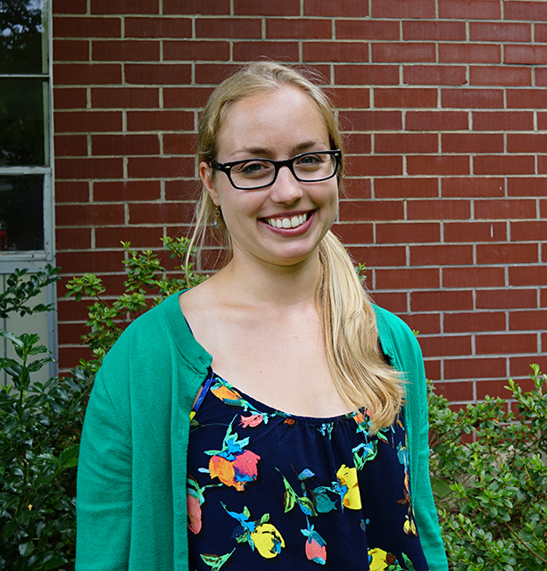
Environmental Literacy and Workforce Development
Sea Grant’s impacts ripple across U.S. communities
Sea Grant’s work addresses a range of coastal and marine challenges through four focus areas: healthy coastal ecosystems, sustainable fisheries and aquaculture, environmental literacy and
Climate
NOAA Sea Grant Advances Resilient Coastal Communities with $4 Million in Support
Sea Grant programs across the U.S. are scaling up capacity to support additional hands-on, collaborative engagement to advance the sustainability of coastal and Great Lakes
Extension
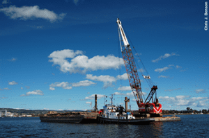
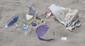
Sea Grant announces funding opportunities to support community-engaged marine debris removal and prevention
Sea Grant announces $19 million in federal funding opportunities to address the prevention and removal of marine debris. These opportunities are a component of nearly $3