NOAA PORTS®
Ocean Shorts: Episode 9

PORTS® Primer
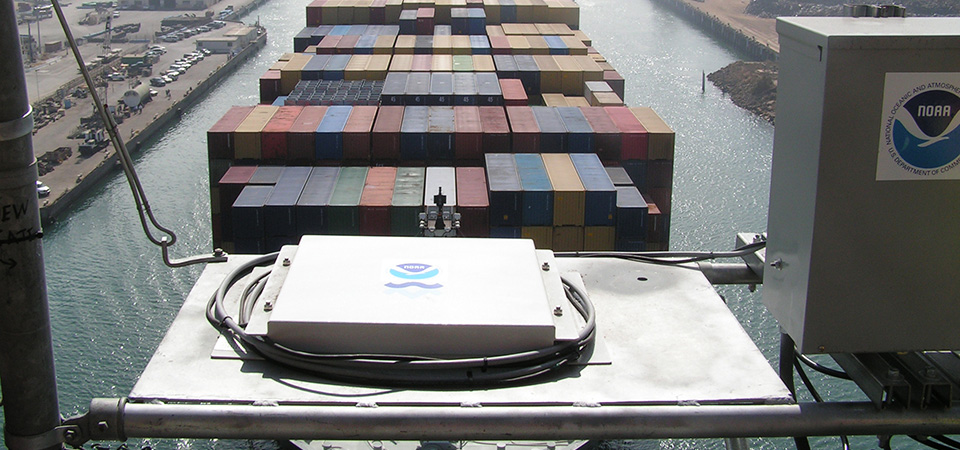
PORTS®, which stands for Physical Oceanographic Real-Time System, is a network of physical oceanographic sensors and meteorological sensors that provide mariners with up-to-date information about what's going on in the environment.
Transcript
HOST: Welcome to Ocean Shorts where we revisit popular Making Waves and Diving Deeper episodes. Today, we’ll talk about NOAA’s PORTS®, which stands for Physical Oceanographic Real-Time System. I was joined by Darren Wright from NOAA’s Center for Operational Oceanographic Products and Services to explore this valuable resource for mariners.
Let's listen in.
HOST: So Darren, you were interviewed for the Making Waves podcast and you talked a little bit about NOAA's PORTS® system. Just to get everybody on the same page, can you remind us what this program's all about?
DARREN WRIGHT: Sure. PORTS® is a network of physical oceanographic sensors and meteorological sensors that provide mariners with up-to-date information about what's going on in the environment. The navigation community, the folks who bring those large vessels in and out of ports, use it for safe and efficient navigation, but this system can also be used by anybody for recreational boating, parasailing, whatever you want to use it for. It is available to everybody.
HOST: What some of the success stories from the regions that currently have a PORTS® station, what you could share with us on just how valuable these are for those local communities?
DARREN WRIGHT: Well, there's a couple I'd like to share with you. One is down in Mobile Bay, it's a PORTS® we installed a couple of years ago and within the first three weeks of having the system installed, I received a letter from a shipping company who said on two occasions they used the system. One, to avoid a grounding, in a situation where they typically, just using tide predictions would have brought a vessel in, but because of meteorological events they actually had less water than they were expecting because of the tide predictions and they held the vessel up and avoided a grounding.
And then in another situation, they had a situation where a vessel, they would have held it in dock for awhile until they got enough water, but they had in this case a high water event so they were able to take a vessel out of port quicker, and as you know, these vessels cost hundreds of thousands of dollars a day to operate, so if you can save two or three hours, getting a vessel underway, you can do the math, it saves a lot of money. So that's one letter that I thought was a real good highlight.
And then a recent example was bringing large, new cranes to the Port of Baltimore. We assisted ship pilots by providing them air gap information and water level information to assure they would get under the bridge safely. We were able to, using a regional model, help them determine the exact time they needed to traverse under the bridge by providing them a forecast of what the water level was going to be, and we provided them the air gap information that gave them that gap between the bottom of the bridge and the surface of the water to assure that they would be able to get the cranes under that bridge safely.
HOST: That's all for today's Ocean Shorts. Thanks for joining us! For more information on NOAA’s PORTS®, visit tidesandcurrents.noaa.gov. Be sure to join us for our next episode.
