NOAA Interactive Chart Catalog
Serving up free PDF nautical charts and more.

The interactive chart catalog makes navigational information more accessible to all maritime professionals and recreational boaters.
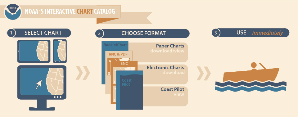
Looking for a nautical chart? Start with the interactive chart locator, an online tool that improves the process for searching for and obtaining nautical charts in a variety of formats. Whether downloading a PDF or BookletChart, selecting a chart to order from a "print-on-demand" vendor, or finding an electronic chart, the interactive catalog presents a integrated suite of navigation products for immediate use.
It's easy. Pick a spot on a map or enter a search term and get instant access charting products and to information such as chart numbers, scales, and notices to mariners. The interactive catalog is NOAA Office Coast Survey's latest innovation in making navigational information more accessible to all maritime professionals and recreational boaters.
Get Social
More Information
Did you know?
Since the mid-1830s, the U.S. Coast Survey (a NOAA predecessor agency) has been the nation’s nautical chartmaker. NOAA’s Office of Coast Survey is still responsible for creating and maintaining all charts of U.S. coastal waters, the Great Lakes, and waters surrounding U.S. territories.
